ملف:Map_Bocas_Islands.jpg
From Wikipedia, the free encyclopedia
حجم البروفه دى: 800 × 355 بكسل. الأبعاد التانيه: 320 × 142 بكسل | 640 × 284 بكسل | 1,290 × 573 بكسل.
الصوره الاصليه (1,290 × 573 بكسل حجم الفايل: 95 كيلوبايت، نوع MIME: image/jpeg)
الملف دا من ويكيميديا كومنز و ممكن تستعمله المشاريع التانيه. الوصف بتاعه صفحة وصف الملف هناك معروض تحت..
الخلاصة
| وصفMap Bocas Islands.jpg |
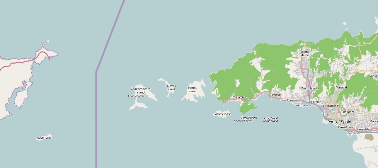
English: Bocas Islands, Trinidad & Tobago |
| تاريخ | |
| مصدر | http://openstreetmap.org |
| مؤلف | http://openstreetmap.org |
الترخيص
| This work contains information from OpenStreetMap, which is made available under the Open Database License (ODbL).
The ODbL does not require any particular license for maps produced from ODbL data. Prior to 1 August 2020, map tiles produced by the OpenStreetMap Foundation were licensed under the CC-BY-SA-2.0 license. Maps produced by other people may be subject to other licences.Open Database LicenseODbLhttp://opendatacommons.org/licenses/odbl/1.0/true |
الشروحات
أضف شرحاً من سطر واحد لما يُمثِّله هذا الملف
العناصر المصورة في هذا الملف
يُصوِّر العربية
5 يناير 2014
تاريخ الفايل
اضغط على الساعه/التاريخ علشان تشوف الفايل زى ما كان فى الوقت ده.
| الساعه / التاريخ | صورة صغيرة | ابعاد | يوزر | تعليق | |
|---|---|---|---|---|---|
| دلوقتي | 16:07، 5 يناير 2014 | | 1,290 × 573 (95 كيلوبايت) | Grueslayer | User created page with UploadWizard |
استخدام الفايل
ال1 صفحة دى فيها وصله للفايل ده:
استخدام الملف العام
الويكيات التانيه دى بتستخدم الفايل ده:
- الاستخدام ف ast.wikipedia.org
- الاستخدام ف de.wikipedia.org
- الاستخدام ف gl.wikipedia.org
- الاستخدام ف www.wikidata.org