ስዕል:LocationSouthAmerica.png
From Wikipedia, the free encyclopedia
ዋና ፋይል (2,759 × 1,404 ፒክስል፤ መጠን፦ 101 KB፤ የMIME ዓይነት፦ image/png)
ይህ ፋይል ከWikimedia Commons የተቀሰመ ነው እና በሌላ ዊኪ ላይ ሊጠቅም ይችላል። በhttps://commons.wikimedia.org/wiki/File:LocationSouthAmerica.png ላይ የሚገኘው የፋይሉ መግለጫ ከዚህ በታች ቀርቧል።

|
File:Location of South America.svg is a vector version of this file. It should be used in place of this PNG file when not inferior.
File:LocationSouthAmerica.png → File:Location of South America.svg
For more information, see Help:SVG.
|
 |
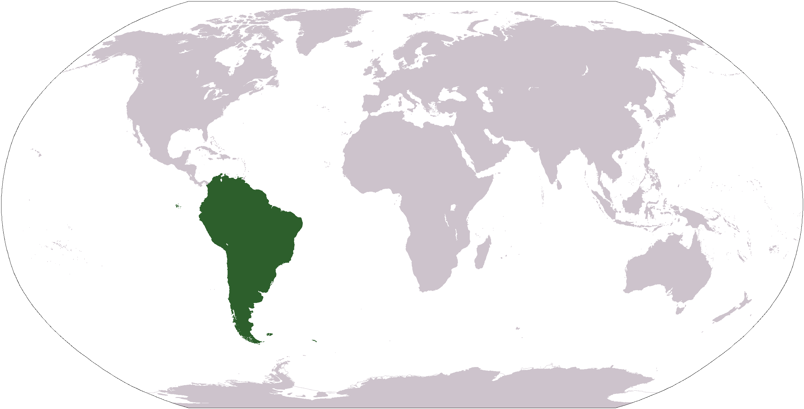
| ማጠቃለያLocationSouthAmerica.png |
Deutsch: Weltkarte mit Fokus auf Südamerika
English: World map depicting South America
Esperanto: Mondmapo bildiganta Sudamerikon
Español: Ubicación de América del Sur |
| ቀን | (UTC) |
| ምንጭ | map adapted from PDF world map at CIA World Fact Book |
| አቅራቢው | Central Intelligence Agency, Maximaximax, Ghalas, Huhsunqu, E Pluribus Anthony, Cogito ergo sumo, and Snoopen82 (via Image:LocationSouthAmerica2.png per this request) |
| ሌሎች ዕትሞች |
Derivative works of this file: Wikinews Ameryka Południowa.png Formerly Image:LocationSouthAmerica2.png. |
| Public domainPublic domainfalsefalse |
This image is in the public domain because it contains materials that originally came from the United States Central Intelligence Agency's World Factbook.
Bahasa Indonesia ∙ čeština ∙ Deutsch ∙ eesti ∙ English ∙ español ∙ Esperanto ∙ français ∙ galego ∙ hrvatski ∙ italiano ∙ Nederlands ∙ norsk nynorsk ∙ polski ∙ português ∙ sicilianu ∙ slovenščina ∙ suomi ∙ Türkçe ∙ Zazaki ∙ беларуская (тарашкевіца) ∙ македонски ∙ русский ∙ српски / srpski ∙ українська ∙ ქართული ∙ বাংলা ∙ தமிழ் ∙ മലയാളം ∙ 한국어 ∙ 日本語 ∙ 中文 ∙ 中文(简体) ∙ 中文(繁體) ∙ العربية ∙ +/− |
 |
Captions
Items portrayed in this file
depicts እንግሊዝኛ
inception እንግሊዝኛ
1 ኦገስት 2007
media type እንግሊዝኛ
image/png
የፋይሉ ታሪክ
የቀድሞው ዕትም ካለ ቀን/ሰዓቱን በመጫን መመልከት ይቻላል።
| ቀን /ሰዓት | ናሙና | ክልሉ (በpixel) | አቅራቢው | ማጠቃለያ | |
|---|---|---|---|---|---|
| ያሁኑኑ | 12:39, 19 ጃንዩዌሪ 2008 | | 2,759 × 1,404 (101 KB) | F l a n k e r | Transparency |
| 18:03, 16 ኦገስት 2007 |  | 2,759 × 1,404 (46 KB) | Jeff G. | Updated version without Panama per Commons:Administrators' noticeboard/Attention#Move_image_request_Image:LocationSouthAmerica2.png_to_Image:LocationSouthAmerica.png_.28user_account_too_new.29 | |
| 04:50, 10 ሴፕቴምበር 2006 |  | 2,759 × 1,404 (55 KB) | Cogito ergo sumo~commonswiki | World map: South America (location) | |
| 04:48, 22 ጃንዩዌሪ 2006 |  | 2,759 × 1,404 (55 KB) | E Pluribus Anthony~commonswiki | World map: South America (location) | |
| 22:34, 15 ጃንዩዌሪ 2006 |  | 1,381 × 703 (48 KB) | Huhsunqu | ||
| 12:33, 29 ኤፕሪል 2005 |  | 1,381 × 703 (16 KB) | Ghalas | Half the size {{PD-USGov-CIA-WF}} | |
| 08:32, 28 ኤፕሪል 2005 |  | 2,759 × 1,404 (39 KB) | Ghalas | Extracted from CIA World Factbook PDF world map, then rasterized and colored. {{PD}} | |
| 05:33, 29 ዲሴምበር 2004 |  | 250 × 116 (11 KB) | Maximaximax | Location of South America (from en:) {{GFDL}} |
መያያዣዎች
ሌሎች ውኪዎች
የሚከተሉት ሌሎች ውኪዎች ይህን ፋይል ይጠቀማሉ፦
- Usage on ace.wikipedia.org
- Usage on af.wikipedia.org
- Usage on als.wikipedia.org
- Usage on ang.wikipedia.org
- Usage on ar.wikipedia.org
- Usage on ar.wikinews.org
- Usage on arz.wikipedia.org
- Usage on as.wikipedia.org
- Usage on azb.wikipedia.org
- Usage on az.wikipedia.org
- Usage on bat-smg.wikipedia.org
- Usage on ba.wikipedia.org
View more global usage of this file.