Lêer:Satellite_map_of_the_Central_African_Republic.png
From Wikipedia, the free encyclopedia
Grootte van hierdie voorskou: 800 × 539 piksels. Ander resolusies: 320 × 216 piksels | 640 × 431 piksels | 1 024 × 690 piksels | 1 280 × 862 piksels | 1 566 × 1 055 piksels.
Oorspronklike lêer (1 566 × 1 055 piksels, lêergrootte: 1,72 MG, MIME-tipe: image/png)
Hierdie lêer kom vanaf Wikimedia Commons en kan ook in ander projekte gebruik word. Die beskrywing op die lêer se inligtingsblad word hieronder weergegee.
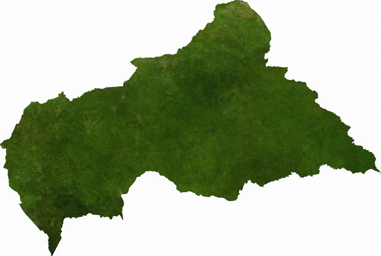
ECW to TIFF to PNG (compression level 9).
| Public domainPublic domainfalsefalse |
| This file is in the public domain, because it was generated by a user, using free sources available at The Map Library.
Note that this does not include the maps in the Global Administrative Areas section of the homepage. |
Oorspronklike oplaailogboek
| date/time | username | resolution | size | edit summary |
|---|---|---|---|---|
| 2006-07-13T03:41:14Z | User:Cwolfsheep | 1566×1055 | 1.72Gb | [[Wikipedia:ECW|ECW]] to [[Wikipedia:TIFF|TIFF]] to [[Wikipedia:PNG|PNG]] (compression level 9). {{PD-MapLibrary}} |
Lêergeskiedenis
Klik op die datum/tyd om te sien hoe die lêer destyds gelyk het.
| Datum/Tyd | Duimnael | Dimensies | Gebruiker | Opmerking | |
|---|---|---|---|---|---|
| huidig | 16:45, 6 Julie 2009 | | 1 566 × 1 055 (1,72 MG) | BetacommandBot | move approved by: User:Kintetsubuffalo This image was moved from File:Cenafrep sat.png ECW to TIFF to PNG (compression level 9). {{PD-MapLibrary}} [[Category:Maps of the Central African Re |
Lêergebruik
Die volgende bladsy gebruik dié lêer:
Globale lêergebruik
Die volgende ander wiki's gebruik hierdie lêer:
- Gebruik in cs.wikipedia.org
- Gebruik in en.wikipedia.org
- Gebruik in ka.wikipedia.org
- Gebruik in mk.wikipedia.org
- Gebruik in pl.wikipedia.org
- Gebruik in sg.wikipedia.org
- Gebruik in tl.wikipedia.org
- Gebruik in uk.wikipedia.org
- Gebruik in zh.wikipedia.org