File:Three_way_junction_at_Dragons_Green_-_geograph.org.uk_-_1578998.jpg
From Wikipedia, the free encyclopedia
No higher resolution available.
Three_way_junction_at_Dragons_Green_-_geograph.org.uk_-_1578998.jpg (640 × 480 pixels, file size: 101 KB, MIME type: image/jpeg)
| This is a file from the Wikimedia Commons. Information from its description page there is shown below. Commons is a freely licensed media file repository. You can help. |
Summary
| DescriptionThree way junction at Dragons Green - geograph.org.uk - 1578998.jpg |
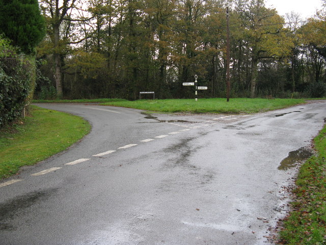
English: Three way junction at Dragons Green Dragons Green road runs left to right while Baker's Lane is behind the camera |
| Date | |
| Source | From geograph.org.uk |
| Author | Dave Spicer |
| Attribution (required by the license) InfoField | Dave Spicer / Three way junction at Dragons Green / |
InfoField | Dave Spicer / Three way junction at Dragons Green |
| Camera location | 50° 59′ 57″ N, 0° 22′ 30″ W | View this and other nearby images on: OpenStreetMap |
|---|
| Object location | 50° 59′ 57″ N, 0° 22′ 27″ W | View this and other nearby images on: OpenStreetMap |
|---|
Licensing

|
This image was taken from the Geograph project collection. See this photograph's page on the Geograph website for the photographer's contact details. The copyright on this image is owned by Dave Spicer and is licensed for reuse under the Creative Commons Attribution-ShareAlike 2.0 license.
|
This file is licensed under the Creative Commons Attribution-Share Alike 2.0 Generic license.
Attribution: Dave Spicer
- You are free:
- to share – to copy, distribute and transmit the work
- to remix – to adapt the work
- Under the following conditions:
- attribution – You must give appropriate credit, provide a link to the license, and indicate if changes were made. You may do so in any reasonable manner, but not in any way that suggests the licensor endorses you or your use.
- share alike – If you remix, transform, or build upon the material, you must distribute your contributions under the same or compatible license as the original.
Captions
Add a one-line explanation of what this file represents
Items portrayed in this file
depicts
some value
8 November 2009
50°59'56.72"N, 0°22'30.00"W
50°59'57.34"N, 0°22'27.48"W
File history
Click on a date/time to view the file as it appeared at that time.
| Date/Time | Thumbnail | Dimensions | User | Comment | |
|---|---|---|---|---|---|
| current | 21:55, 3 March 2011 | | 640 × 480 (101 KB) | GeographBot | == {{int:filedesc}} == {{Information |description={{en|1=Three way junction at Dragons Green Dragons Green road runs left to right while Baker's Lane is behind the camera}} |date=2009-11-08 |source=From [http://www.geograph.org.uk/photo/1578998 geograph.o |
File usage
The following pages on the English Wikipedia use this file (pages on other projects are not listed):
Global file usage
The following other wikis use this file:
- Usage on ja.wikipedia.org
Metadata
This file contains additional information, probably added from the digital camera or scanner used to create or digitize it.
If the file has been modified from its original state, some details may not fully reflect the modified file.
| _error | 0 |
|---|