File:Stannington_seen_from_Crookes_(geograph_5292742).jpg
From Wikipedia, the free encyclopedia
Size of this preview: 800 × 584 pixels. Other resolutions: 320 × 233 pixels | 640 × 467 pixels | 1,024 × 747 pixels | 1,280 × 934 pixels | 2,560 × 1,867 pixels | 4,916 × 3,586 pixels.
Original file (4,916 × 3,586 pixels, file size: 4.05 MB, MIME type: image/jpeg)
| This is a file from the Wikimedia Commons. Information from its description page there is shown below. Commons is a freely licensed media file repository. You can help. |
Summary
| DescriptionStannington seen from Crookes (geograph 5292742).jpg |
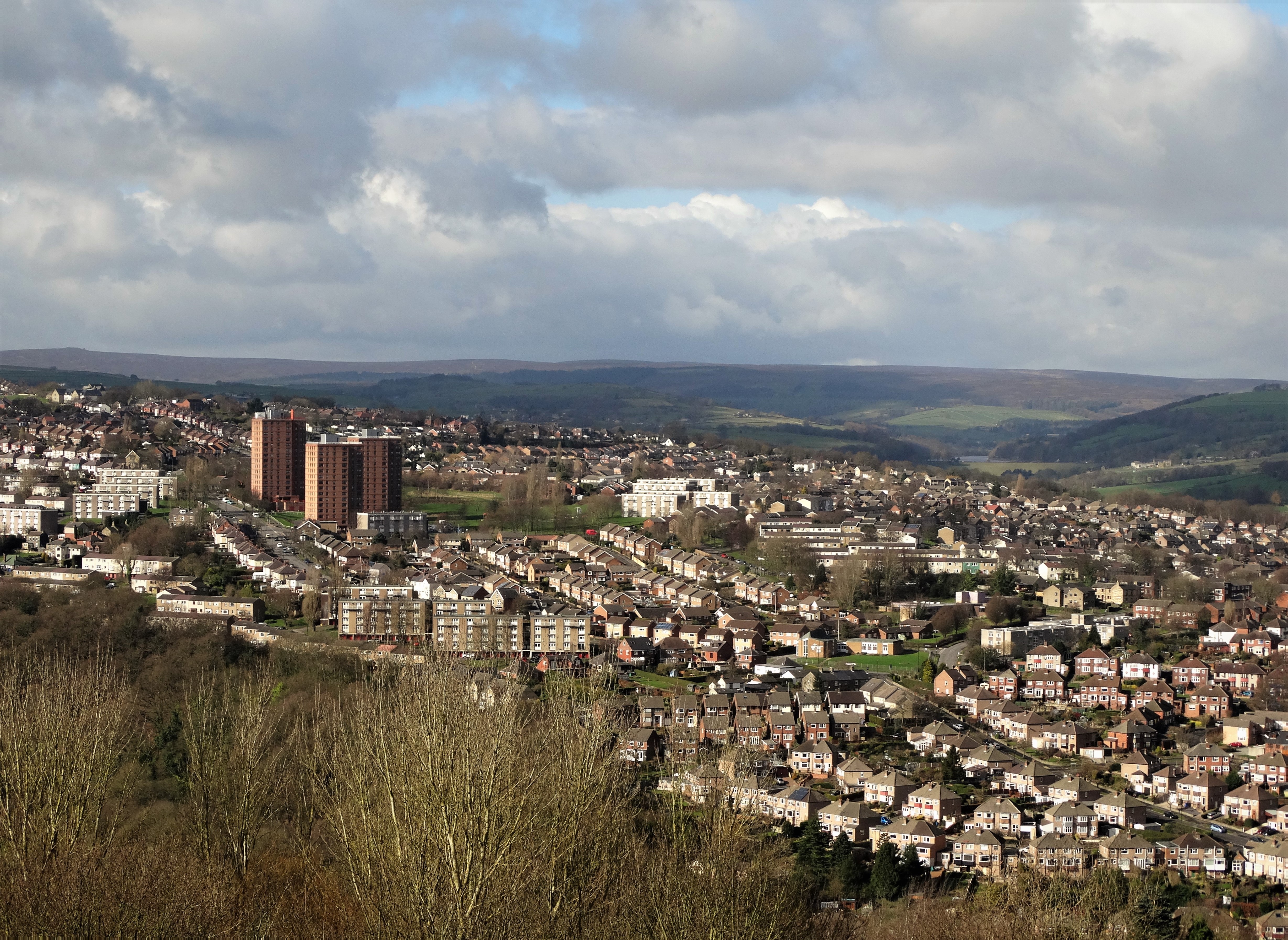
English: Stannington seen from Crookes. The viewpoint was Woodfield Road above Bole Hill Park. The three housing blocks to the left are Deer Park Flats. |
| Date | |
| Source | From geograph.org.uk |
| Author | Neil Theasby |
| Permission (Reusing this file) |
Creative Commons Attribution Share-alike license 2.0 |
| Attribution (required by the license) InfoField | Neil Theasby / Stannington seen from Crookes / |
InfoField | Neil Theasby / Stannington seen from Crookes |
| Camera location | 53° 23′ 19.5″ N, 1° 30′ 38″ W | View this and other nearby images on: OpenStreetMap |
|---|
| Object location | 53° 23′ 37.5″ N, 1° 31′ 39″ W | View this and other nearby images on: OpenStreetMap |
|---|
Licensing

|
This image was taken from the Geograph project collection. See this photograph's page on the Geograph website for the photographer's contact details. The copyright on this image is owned by Neil Theasby and is licensed for reuse under the Creative Commons Attribution-ShareAlike 2.0 license.
|
This file is licensed under the Creative Commons Attribution-Share Alike 2.0 Generic license.
Attribution: Neil Theasby
- You are free:
- to share – to copy, distribute and transmit the work
- to remix – to adapt the work
- Under the following conditions:
- attribution – You must give appropriate credit, provide a link to the license, and indicate if changes were made. You may do so in any reasonable manner, but not in any way that suggests the licensor endorses you or your use.
- share alike – If you remix, transform, or build upon the material, you must distribute your contributions under the same or compatible license as the original.
Captions
Add a one-line explanation of what this file represents
Items portrayed in this file
depicts
some value
24 February 2017
53°23'19.453"N, 1°30'38.502"W
53°23'37.50"N, 1°31'39.47"W
File history
Click on a date/time to view the file as it appeared at that time.
| Date/Time | Thumbnail | Dimensions | User | Comment | |
|---|---|---|---|---|---|
| current | 16:47, 15 February 2020 | | 4,916 × 3,586 (4.05 MB) | Salen9 | Transferred from geograph.co.uk using [https://tools.wmflabs.org/geograph2commons/ geograph2commons] |
File usage
The following pages on the English Wikipedia use this file (pages on other projects are not listed):
Metadata
This file contains additional information, probably added from the digital camera or scanner used to create or digitize it.
If the file has been modified from its original state, some details may not fully reflect the modified file.
| Camera manufacturer | SONY |
|---|---|
| Camera model | DSC-HX300 |
| Exposure time | 1/1,000 sec (0.001) |
| F-number | f/3.5 |
| ISO speed rating | 80 |
| Date and time of data generation | 11:56, 24 February 2017 |
| Lens focal length | 13.35 mm |
| Orientation | Normal |
| Horizontal resolution | 350 dpi |
| Vertical resolution | 350 dpi |
| Software used | Windows Photo Editor 10.0.10011.16384 |
| File change date and time | 13:34, 24 February 2017 |
| Y and C positioning | Co-sited |
| Exposure Program | Landscape mode (for landscape photos with the background in focus) |
| Exif version | 2.3 |
| Date and time of digitizing | 11:56, 24 February 2017 |
| Meaning of each component |
|
| Image compression mode | 2 |
| APEX brightness | 9.83359375 |
| Exposure bias | 0 |
| Maximum land aperture | 3.6171875 APEX (f/3.5) |
| Metering mode | Pattern |
| Light source | Unknown |
| Flash | Flash did not fire, compulsory flash suppression |
.jpg)