File:Relief_Map_of_Vladimir_Oblast.jpg
From Wikipedia, the free encyclopedia
Size of this preview: 800 × 572 pixels. Other resolutions: 320 × 229 pixels | 640 × 458 pixels | 1,024 × 732 pixels | 1,200 × 858 pixels.
Original file (1,200 × 858 pixels, file size: 281 KB, MIME type: image/jpeg)
| This is a file from the Wikimedia Commons. Information from its description page there is shown below. Commons is a freely licensed media file repository. You can help. |
Summary
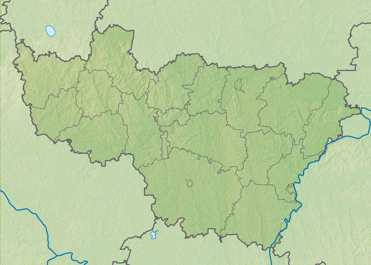
| DescriptionRelief Map of Vladimir Oblast.jpg |
|top    = 57.0
|bottom = 55.0
|left   = 38.1
|right  = 43.1
|top = 57.0 |bottom = 55.0 |left = 38.1 |right = 43.1 |
| Date | |
| Source | |
| Author | (Victor V) Виктор В |
| Other versions |
[edit] |


Licensing
This file is licensed under the Creative Commons Attribution-Share Alike 2.0 Generic license.
- You are free:
- to share – to copy, distribute and transmit the work
- to remix – to adapt the work
- Under the following conditions:
- attribution – You must give appropriate credit, provide a link to the license, and indicate if changes were made. You may do so in any reasonable manner, but not in any way that suggests the licensor endorses you or your use.
- share alike – If you remix, transform, or build upon the material, you must distribute your contributions under the same or compatible license as the original.
Captions
Add a one-line explanation of what this file represents
Items portrayed in this file
depicts
12 September 2010
File history
Click on a date/time to view the file as it appeared at that time.
| Date/Time | Thumbnail | Dimensions | User | Comment | |
|---|---|---|---|---|---|
| current | 17:32, 12 September 2010 | | 1,200 × 858 (281 KB) | Виктор В | == {{int:filedesc}} == {{Information |Description={{ru|1=Физическая карта Владимирской области *Проекция — равноугольная. *Стандартная параллель — 56°00′00″с.ш. *Пар� |
File usage
The following pages on the English Wikipedia use this file (pages on other projects are not listed):
Global file usage
The following other wikis use this file:
- Usage on ba.wikipedia.org
- Usage on be.wikipedia.org
- Usage on bg.wikipedia.org
- Юрев Полски
- Радужни (Владимирска област)
- Владимир (Русия)
- Суздал
- Шаблон:ПК Русия Владимирска област
- Александров (град)
- Вязники
- Гороховец
- Камешково
- Киржач
- Ковров
- Колчугино
- Костерьово
- Курлово
- Лакинск
- Меленки
- Муром
- Петушки (град)
- Покров (Владимирска област)
- Собинка
- Струнино
- Судогда
- Болшое Григорово
- Губино
- Делово
- Драчово
- Захарово
- Ивонино
- Илинское
- Копнино
- Красная Ушна
- Курково
- Николо-Ушна
- Никулино
- Новлянка (село, Селивановски район)
- Новлянка (селище, Селивановски район)
- Новий Бит
- Ознобишино
- Святци
- Сенково
- Теренино
- Троицко-Количьово
- Тучково
- Чертково
- Шулгино
- Ставрово (Владимирска област)
View more global usage of this file.
Metadata
This file contains additional information, probably added from the digital camera or scanner used to create or digitize it.
If the file has been modified from its original state, some details may not fully reflect the modified file.
| Orientation | Normal |
|---|---|
| Horizontal resolution | 108.0008 dpi |
| Vertical resolution | 108.0008 dpi |
| Software used | Adobe Photoshop CS3 Windows |
| File change date and time | 21:27, 12 September 2010 |
| Color space | sRGB |
Retrieved from "https://en.wikipedia.org/wiki/File:Relief_Map_of_Vladimir_Oblast.jpg"