File:Relief_Map_of_South_Norway.png
From Wikipedia, the free encyclopedia
Size of this preview: 408 × 600 pixels. Other resolutions: 163 × 240 pixels | 481 × 707 pixels.
Original file (481 × 707 pixels, file size: 530 KB, MIME type: image/png)
| This is a file from the Wikimedia Commons. Information from its description page there is shown below. Commons is a freely licensed media file repository. You can help. |
Summary
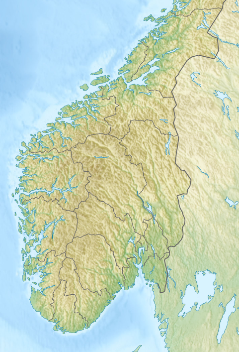
| DescriptionRelief Map of South Norway.png |
English: Relief Map of South Norway
Equirectangular projection, N/S stretching 210 %. Geographic limits of the map:
|
| Date | |
| Source | File:Relief Map of Norway.png |
| Author | commons user Виктор_В |
Licensing
This file is licensed under the Creative Commons Attribution-Share Alike 3.0 Unported license.
- You are free:
- to share – to copy, distribute and transmit the work
- to remix – to adapt the work
- Under the following conditions:
- attribution – You must give appropriate credit, provide a link to the license, and indicate if changes were made. You may do so in any reasonable manner, but not in any way that suggests the licensor endorses you or your use.
- share alike – If you remix, transform, or build upon the material, you must distribute your contributions under the same or compatible license as the original.
Captions
Add a one-line explanation of what this file represents
Items portrayed in this file
depicts
12 October 2016
File history
Click on a date/time to view the file as it appeared at that time.
| Date/Time | Thumbnail | Dimensions | User | Comment | |
|---|---|---|---|---|---|
| current | 14:51, 12 October 2016 | | 481 × 707 (530 KB) | Noclador | User created page with UploadWizard |
File usage
The following pages on the English Wikipedia use this file (pages on other projects are not listed):
- Allied Forces South Norway
- Alpine skiing at the 1952 Winter Olympics
- Alpine skiing at the 1952 Winter Olympics – Men's downhill
- Alpine skiing at the 1994 Winter Olympics
- Ammerud
- Operation Title
- User:Nick-D/Drafts9
- User:Noclador/sandbox/Allied Forces South Norway 1989
- Wikipedia:Graphics Lab/Map workshop/Archive/2017/May 2017
Global file usage
The following other wikis use this file:
- Usage on fy.wikipedia.org
- Usage on zh.wikipedia.org
Metadata
This file contains additional information, probably added from the digital camera or scanner used to create or digitize it.
If the file has been modified from its original state, some details may not fully reflect the modified file.
| Horizontal resolution | 19.2 dpc |
|---|---|
| Vertical resolution | 19.2 dpc |
Retrieved from "https://en.wikipedia.org/wiki/File:Relief_Map_of_South_Norway.png"