File:Peacehaven_Cliffs_-_geograph.org.uk_-_1204705.jpg
From Wikipedia, the free encyclopedia
Size of this preview: 450 × 600 pixels. Other resolutions: 180 × 240 pixels | 480 × 640 pixels.
Original file (480 × 640 pixels, file size: 111 KB, MIME type: image/jpeg)
| This is a file from the Wikimedia Commons. Information from its description page there is shown below. Commons is a freely licensed media file repository. You can help. |
Summary
| DescriptionPeacehaven Cliffs - geograph.org.uk - 1204705.jpg |
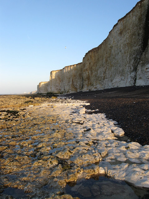
English: Peacehaven Cliffs The sea defences end just out of shot to the right and there are no more until those protecting Portobello Pumping Station. |
| Date | |
| Source | From geograph.org.uk |
| Author | Simon Carey |
| Attribution (required by the license) InfoField | Simon Carey / Peacehaven Cliffs / |
InfoField | Simon Carey / Peacehaven Cliffs |
| Camera location | 50° 47′ 30″ N, 0° 00′ 47″ W | View this and other nearby images on: OpenStreetMap |
|---|
| Object location | 50° 47′ 31″ N, 0° 00′ 51″ W | View this and other nearby images on: OpenStreetMap |
|---|
Licensing

|
This image was taken from the Geograph project collection. See this photograph's page on the Geograph website for the photographer's contact details. The copyright on this image is owned by Simon Carey and is licensed for reuse under the Creative Commons Attribution-ShareAlike 2.0 license.
|
This file is licensed under the Creative Commons Attribution-Share Alike 2.0 Generic license.
Attribution: Simon Carey
- You are free:
- to share – to copy, distribute and transmit the work
- to remix – to adapt the work
- Under the following conditions:
- attribution – You must give appropriate credit, provide a link to the license, and indicate if changes were made. You may do so in any reasonable manner, but not in any way that suggests the licensor endorses you or your use.
- share alike – If you remix, transform, or build upon the material, you must distribute your contributions under the same or compatible license as the original.
Captions
Add a one-line explanation of what this file represents
Items portrayed in this file
depicts
some value
15 March 2009
50°47'30.05"N, 0°0'46.80"W
50°47'31.09"N, 0°0'50.76"W
File history
Click on a date/time to view the file as it appeared at that time.
| Date/Time | Thumbnail | Dimensions | User | Comment | |
|---|---|---|---|---|---|
| current | 04:07, 26 February 2011 | | 480 × 640 (111 KB) | GeographBot | == {{int:filedesc}} == {{Information |description={{en|1=Peacehaven Cliffs The sea defences end just out of shot to the right and there are no more until those protecting Portobello Pumping Station.}} |date=2009-03-15 |source=From [http://www.geograph.org |
File usage
The following pages on the English Wikipedia use this file (pages on other projects are not listed):
Metadata
This file contains additional information, probably added from the digital camera or scanner used to create or digitize it.
If the file has been modified from its original state, some details may not fully reflect the modified file.
| _error | 0 |
|---|