File:Pavonia_Yard_hump_control_twr_2010.jpg
From Wikipedia, the free encyclopedia
Size of this preview: 800 × 600 pixels. Other resolutions: 320 × 240 pixels | 640 × 480 pixels | 1,024 × 768 pixels | 1,280 × 960 pixels | 2,560 × 1,920 pixels | 4,000 × 3,000 pixels.
Original file (4,000 × 3,000 pixels, file size: 3.45 MB, MIME type: image/jpeg)
| This is a file from the Wikimedia Commons. Information from its description page there is shown below. Commons is a freely licensed media file repository. You can help. |
Summary
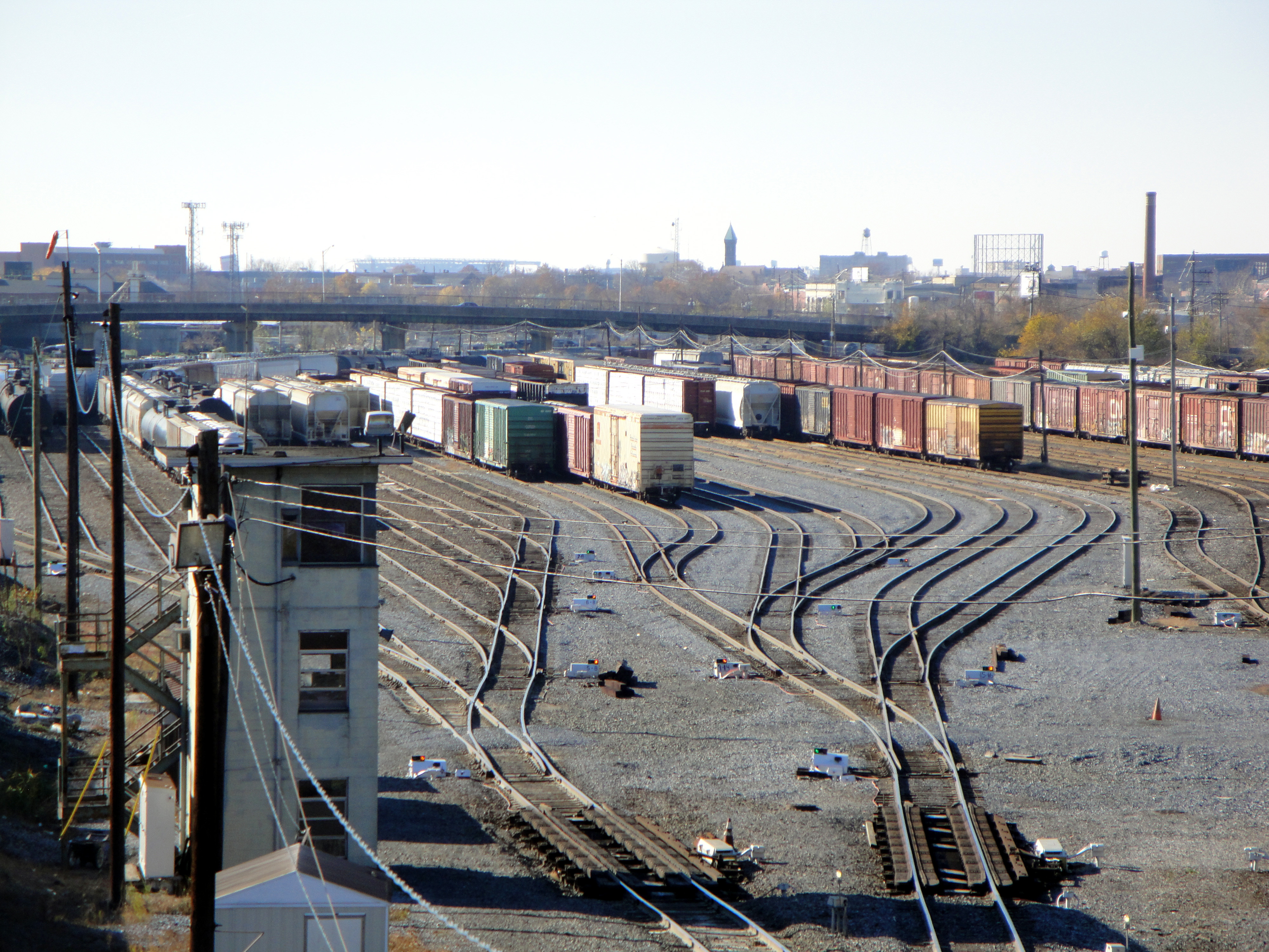
| DescriptionPavonia Yard hump control twr 2010.jpg | View of classification tracks at Pavonia Yard in Camden, New Jersey. Operated by Conrail Shared Assets Operations. Hump yard control tower and retarder tracks in foreground. |
| Date | |
| Source | Own work |
| Author | Caseyjonz |
| Camera location | 39° 57′ 05.87″ N, 75° 05′ 26.88″ W | View this and other nearby images on: OpenStreetMap |
|---|
Licensing
| Public domainPublic domainfalsefalse |
| I, the copyright holder of this work, release this work into the public domain. This applies worldwide. In some countries this may not be legally possible; if so: I grant anyone the right to use this work for any purpose, without any conditions, unless such conditions are required by law. |
Captions
Add a one-line explanation of what this file represents
Items portrayed in this file
depicts
28 November 2010
39°57'5.87"N, 75°5'26.88"W
0.003125 second
5.2
25 millimetre
image/jpeg
File history
Click on a date/time to view the file as it appeared at that time.
| Date/Time | Thumbnail | Dimensions | User | Comment | |
|---|---|---|---|---|---|
| current | 02:58, 30 November 2010 | | 4,000 × 3,000 (3.45 MB) | Caseyjonz | {{Information |Description=View of classification tracks at Pavonia Yard in Camden, New Jersey. Operated by Conrail Shared Assets Operations. Hump yard control tower and retarder tracks in foreground. |Source={{ |
File usage
The following pages on the English Wikipedia use this file (pages on other projects are not listed):
Metadata
This file contains additional information, probably added from the digital camera or scanner used to create or digitize it.
If the file has been modified from its original state, some details may not fully reflect the modified file.
| Camera manufacturer | SONY |
|---|---|
| Camera model | DSC-W290 |
| Exposure time | 1/320 sec (0.003125) |
| F-number | f/5.2 |
| ISO speed rating | 80 |
| Date and time of data generation | 11:18, 28 November 2010 |
| Lens focal length | 25 mm |
| Orientation | Normal |
| Horizontal resolution | 72 dpi |
| Vertical resolution | 72 dpi |
| File change date and time | 11:18, 28 November 2010 |
| Y and C positioning | Co-sited |
| Exposure Program | Landscape mode (for landscape photos with the background in focus) |
| Exif version | 2.21 |
| Date and time of digitizing | 11:18, 28 November 2010 |
| Image compression mode | 4 |
| Exposure bias | 0 |
| Maximum land aperture | 3.4375 APEX (f/3.29) |
| Metering mode | Pattern |
| Light source | Unknown |
| Flash | Flash did not fire, compulsory flash suppression |
| Color space | sRGB |
| Custom image processing | Normal process |
| Exposure mode | Auto exposure |
| White balance | Auto white balance |
| Scene capture type | Landscape |
| Contrast | Normal |
| Saturation | Normal |
| Sharpness | Normal |