File:Panchthar_district_locator.png
From Wikipedia, the free encyclopedia
Size of this preview: 610 × 600 pixels. Other resolutions: 244 × 240 pixels | 488 × 480 pixels | 661 × 650 pixels.
Original file (661 × 650 pixels, file size: 143 KB, MIME type: image/png)
| This is a file from the Wikimedia Commons. Information from its description page there is shown below. Commons is a freely licensed media file repository. You can help. |
Summary
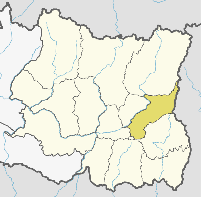
| DescriptionPanchthar district locator.png |
English: Panchthar district |
| Date | |
| Source | Own work based on: Nepal Province No 1 adm location map.svg by NordNordWest |
| Author | Raju Babu |
Licensing
I, the copyright holder of this work, hereby publish it under the following license:
This file is licensed under the Creative Commons Attribution-Share Alike 4.0 International license.
- You are free:
- to share – to copy, distribute and transmit the work
- to remix – to adapt the work
- Under the following conditions:
- attribution – You must give appropriate credit, provide a link to the license, and indicate if changes were made. You may do so in any reasonable manner, but not in any way that suggests the licensor endorses you or your use.
- share alike – If you remix, transform, or build upon the material, you must distribute your contributions under the same or compatible license as the original.
Captions
Add a one-line explanation of what this file represents
Items portrayed in this file
depicts
5 March 2018
File history
Click on a date/time to view the file as it appeared at that time.
| Date/Time | Thumbnail | Dimensions | User | Comment | |
|---|---|---|---|---|---|
| current | 09:34, 5 March 2018 | | 661 × 650 (143 KB) | Raju Babu | User created page with UploadWizard |
File usage
The following pages on the English Wikipedia use this file (pages on other projects are not listed):
- Aangna
- Aangsarang
- Administration in Koshi Province
- Ambarpur
- Arubote
- Bharapa
- Chilingdin
- Chyangthapu
- Durdimba
- Ektin
- Embung
- Hangum
- Hilihang Rural Municipality
- Khandrung
- Khunga, Panchthar
- Kummayak Rural Municipality
- Kurumba, Panchthar
- Lalikharka
- Limba, Panchthar
- Lungrupa
- Luwamphu
- Mangjabung
- Mauwa
- Memeng
- Miklajung Rural Municipality, Panchthar
- Nagi, Panchthar
- Nangin
- Nawamidanda
- Olane
- Oyam, Panchthar
- Panchami, Panchthar
- Panchthar District
- Parangbung
- Pauwa Sartap
- Phaktep
- Phalaicha
- Phalelung Rural Municipality
- Phalgunanda Rural Municipality
- Phidim Municipality
- Prangbung
- Rabi, Panchthar
- Rani Gaun
- Ranitar
- Salleri, Panchthar
- Sarangdanda
- Sidin
- Subhang
- Syabarumba
- Tharpu
- Tumwewa Rural Municipality
- Yangnam
- Yangwarak Rural Municipality
- Yasok
- Wikipedia:WikiProject Nepal/District templates
- Template:Panchthar District
- Category:Municipalities in Panchthar District
- Category:Rural municipalities in Panchthar District
Global file usage
The following other wikis use this file:
- Usage on bn.wikipedia.org
- Usage on dty.wikipedia.org
- Usage on fa.wikipedia.org
- Usage on ne.wikipedia.org
- Usage on sat.wikipedia.org
- Usage on zh-min-nan.wikipedia.org
Retrieved from "https://en.wikipedia.org/wiki/File:Panchthar_district_locator.png"