File:Nigeria_Ondo_State_map.png
From Wikipedia, the free encyclopedia
No higher resolution available.
Nigeria_Ondo_State_map.png (777 × 599 pixels, file size: 176 KB, MIME type: image/png)
| This is a file from the Wikimedia Commons. Information from its description page there is shown below. Commons is a freely licensed media file repository. You can help. |
Summary
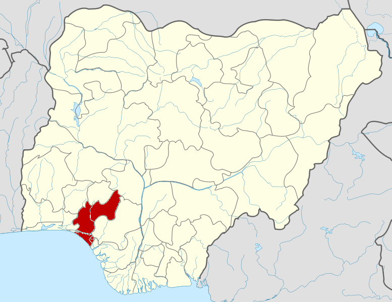
| DescriptionNigeria Ondo State map.png |
English: Map locator of Nigeria. |
| Date | |
| Source | Based on File:Nigeria location map.svg |
| Author | Himalayan Explorer based on work by Uwe Dedering |
Licensing
This file is licensed under the Creative Commons Attribution-Share Alike 3.0 Unported license.
- You are free:
- to share – to copy, distribute and transmit the work
- to remix – to adapt the work
- Under the following conditions:
- attribution – You must give appropriate credit, provide a link to the license, and indicate if changes were made. You may do so in any reasonable manner, but not in any way that suggests the licensor endorses you or your use.
- share alike – If you remix, transform, or build upon the material, you must distribute your contributions under the same or compatible license as the original.
Captions
Add a one-line explanation of what this file represents
Items portrayed in this file
depicts
11 February 2010
File history
Click on a date/time to view the file as it appeared at that time.
| Date/Time | Thumbnail | Dimensions | User | Comment | |
|---|---|---|---|---|---|
| current | 04:08, 11 February 2010 | | 777 × 599 (176 KB) | Himalayan Explorer | {{Information |Description={{en|1=l}} |Source=l |Author=l |Date=l |Permission= |other_versions= }} |
File usage
The following pages on the English Wikipedia use this file (pages on other projects are not listed):
- Akoko North-East
- Akoko North-West
- Akoko South-East
- Akoko South-West
- Akure North
- Akure South
- Ese Odo
- Idanre
- Ifedore
- Ilaje
- Ile Oluji
- Ipogun
- Irele
- Isua Akoko
- List of villages in Ondo State
- Oka Akoko
- Okitipupa
- Ondo East
- Ondo West
- Ondo prison break
- Ose, Nigeria
- Owo
- Roman Catholic Diocese of Ondo
- User:GerardM/States of Nigeria
- User:Oracleinc
- Template:Ondo State
- Draft:Egunren kingdom
Global file usage
The following other wikis use this file:
- Usage on ar.wikipedia.org
- Usage on bg.wikipedia.org
- Usage on ca.wikipedia.org
- Usage on eo.wikipedia.org
- Usage on es.wikipedia.org
- Usage on fa.wikipedia.org
- Usage on gl.wikipedia.org
- Usage on ha.wikipedia.org
- Usage on id.wikipedia.org
- Usage on ig.wikipedia.org
- Usage on it.wikipedia.org
- Usage on ja.wikipedia.org
- Usage on jv.wikipedia.org
- Usage on ko.wikipedia.org
- Usage on lv.wikipedia.org
- Usage on mrj.wikipedia.org
- Usage on no.wikipedia.org
- Usage on ro.wikipedia.org
- Usage on ru.wikipedia.org
- Usage on sr.wikipedia.org
- Usage on sw.wikipedia.org
- Usage on tr.wikipedia.org
- Usage on ts.wikipedia.org
- Usage on ur.wikipedia.org
- Usage on www.wikidata.org
- Usage on yo.wikipedia.org
- Usage on zh-min-nan.wikipedia.org
View more global usage of this file.
Retrieved from "https://en.wikipedia.org/wiki/File:Nigeria_Ondo_State_map.png"