File:Korail_Honam_HSR_Line.png
From Wikipedia, the free encyclopedia
Size of this preview: 391 × 599 pixels. Other resolutions: 156 × 240 pixels | 313 × 480 pixels | 501 × 768 pixels | 1,030 × 1,578 pixels.
Original file (1,030 × 1,578 pixels, file size: 390 KB, MIME type: image/png)
| This is a file from the Wikimedia Commons. Information from its description page there is shown below. Commons is a freely licensed media file repository. You can help. |
Summary
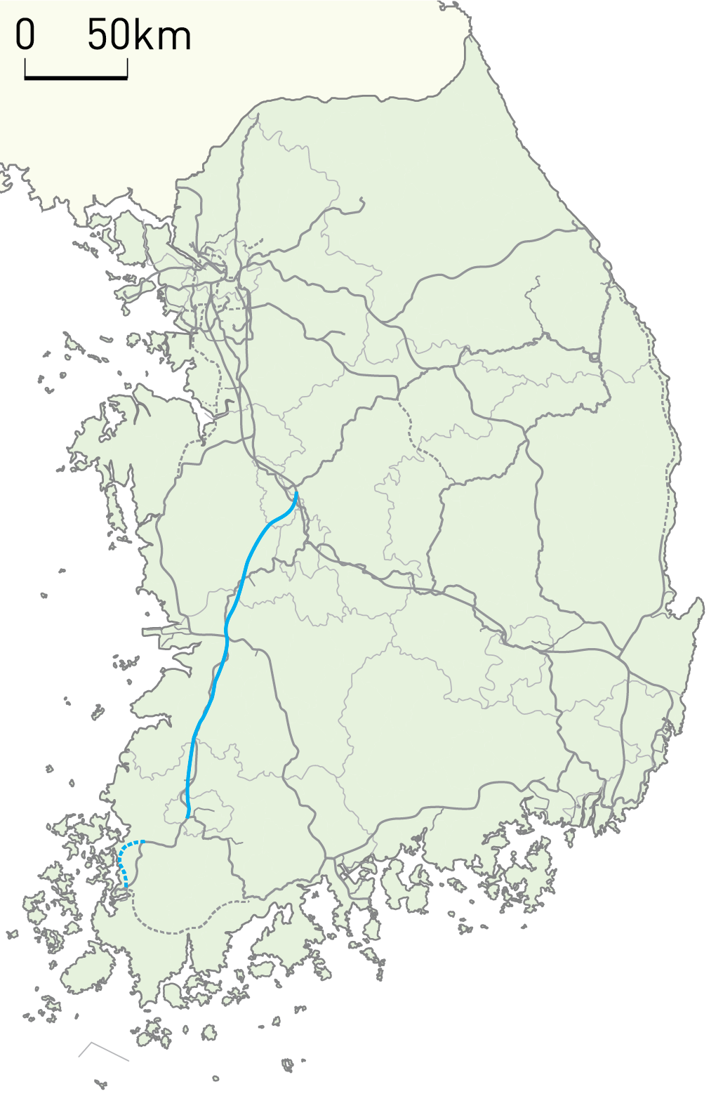
| DescriptionKorail Honam HSR Line.png |
English: Korail Honam HSR Line Routemap |
| Date | |
| Source | Own work |
| Author | Geoarchive |
Licensing
I, the copyright holder of this work, hereby publish it under the following license:
This file is licensed under the Creative Commons Attribution-Share Alike 4.0 International license.
- You are free:
- to share – to copy, distribute and transmit the work
- to remix – to adapt the work
- Under the following conditions:
- attribution – You must give appropriate credit, provide a link to the license, and indicate if changes were made. You may do so in any reasonable manner, but not in any way that suggests the licensor endorses you or your use.
- share alike – If you remix, transform, or build upon the material, you must distribute your contributions under the same or compatible license as the original.
Captions
Add a one-line explanation of what this file represents
Items portrayed in this file
depicts
7 August 2015
File history
Click on a date/time to view the file as it appeared at that time.
| Date/Time | Thumbnail | Dimensions | User | Comment | |
|---|---|---|---|---|---|
| current | 17:05, 30 December 2021 | | 1,030 × 1,578 (390 KB) | Geoarchive | * Realignment of Jungang Line(Yeongcheon-Moryang, 2021-12-28) * Realignment of Donghae Line(Taehwagang-Singyeongju, 2021-12-28) * Opening of Jungbunaeryuk Line(2021-12-31) * Update Jinjeop Line and Gyeonggang Line(Siheung-Seongnam) which are under construction. |
| 18:04, 25 December 2020 |  | 1,030 × 1,578 (390 KB) | Geoarchive | Update Re-alignment of Jungang Line(Seowonju-Danchon) Update Gunsan Port Line Update Re-alignment of Janghang Line(Iksan-Deaya) | |
| 12:55, 14 October 2020 |  | 1,030 × 1,578 (391 KB) | Geoarchive | Correct Error | |
| 12:46, 14 October 2020 |  | 1,030 × 1,578 (392 KB) | Geoarchive | Correct Error(Suin Line has completed, add GTX-A) | |
| 12:44, 14 October 2020 |  | 1,030 × 1,578 (392 KB) | Geoarchive | Suin Line has completed, add GTX-A | |
| 08:01, 22 December 2019 |  | 1,030 × 1,578 (390 KB) | Geoarchive | Add Sinbundang Line, Yeongilmanhang Line | |
| 08:03, 27 June 2018 |  | 686 × 1,051 (180 KB) | そらみみ | Add Seohae Line. | |
| 18:31, 25 December 2017 |  | 1,487 × 2,278 (571 KB) | Geoarchive | Add Donghae Line | |
| 15:45, 29 November 2017 |  | 1,778 × 2,723 (697 KB) | Geoarchive | More Detailed Lines on Gyeonggang Line, Gyeongbu HSR Line, Daegu Line and Bundang Line Add Sinbundang Line, Incheon Airport Line Apply construction of Gyeongggang Line from Wonju to Gangneung, also apply renewed Gyeongjeon Line from Gwangyang to Jinju... | |
| 13:06, 12 October 2017 |  | 686 × 1,051 (227 KB) | Geoarchive | Correct Errors |
File usage
The following pages on the English Wikipedia use this file (pages on other projects are not listed):
Global file usage
The following other wikis use this file:
- Usage on de.wikipedia.org
- Usage on es.wikipedia.org
- Usage on it.wikipedia.org
- Usage on ja.wikipedia.org
- Usage on ko.wikipedia.org
- Usage on www.wikidata.org
- Usage on zh.wikipedia.org
Metadata
This file contains additional information, probably added from the digital camera or scanner used to create or digitize it.
If the file has been modified from its original state, some details may not fully reflect the modified file.
| Horizontal resolution | 177.16 dpc |
|---|---|
| Vertical resolution | 177.16 dpc |
Retrieved from "https://en.wikipedia.org/wiki/File:Korail_Honam_HSR_Line.png"