File:Ingatestone_Hall_-_geograph.org.uk_-_4578042.jpg
From Wikipedia, the free encyclopedia
Size of this preview: 800 × 534 pixels. Other resolutions: 320 × 214 pixels | 640 × 427 pixels | 1,024 × 684 pixels | 1,280 × 855 pixels | 2,560 × 1,709 pixels | 3,678 × 2,456 pixels.
Original file (3,678 × 2,456 pixels, file size: 4.66 MB, MIME type: image/jpeg)
| This is a file from the Wikimedia Commons. Information from its description page there is shown below. Commons is a freely licensed media file repository. You can help. |
Summary
| DescriptionIngatestone Hall - geograph.org.uk - 4578042.jpg |
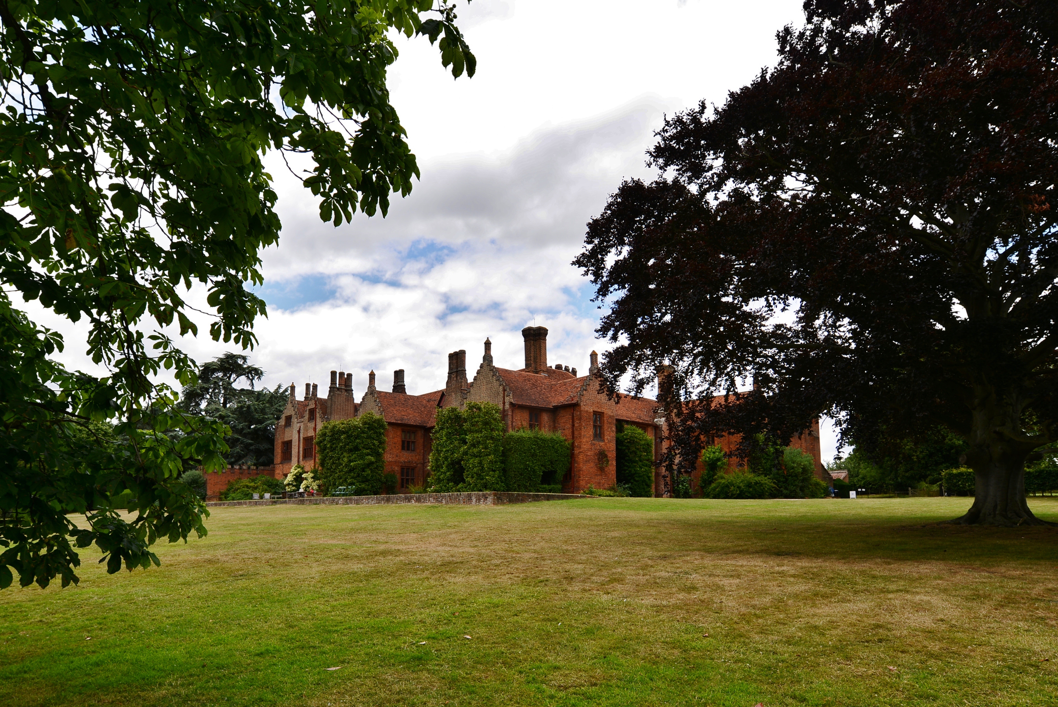
English: Ingatestone Hall |
| Depicts InfoField | historic site, village, park, Ingatestone and Fryerning |
| Date |
|
| Source |
Geograph Britain and Ireland |
| Author |
Michael Garlick |
| Place of creation InfoField | Ingatestone and Fryerning |
| Camera location | 51° 39′ 39.4″ N, 0° 23′ 26″ E | View this and other nearby images on: OpenStreetMap |
|---|
| Object location | 51° 39′ 40″ N, 0° 23′ 25″ E | View this and other nearby images on: OpenStreetMap |
|---|
Licensing

|
This image was taken from the Geograph project collection. See this photograph's page on the Geograph website for the photographer's contact details. The copyright on this image is owned by Michael Garlick
|
This file is licensed under the Creative Commons Attribution-Share Alike 2.0 Generic license.
Attribution: Ingatestone Hall by Michael Garlick
- You are free:
- to share – to copy, distribute and transmit the work
- to remix – to adapt the work
- Under the following conditions:
- attribution – You must give appropriate credit, provide a link to the license, and indicate if changes were made. You may do so in any reasonable manner, but not in any way that suggests the licensor endorses you or your use.
- share alike – If you remix, transform, or build upon the material, you must distribute your contributions under the same or compatible license as the original.
Captions
Ingatestone Hall
Items portrayed in this file
depicts
some value
19 July 2015
51°39'39.2"N, 0°23'26.5"E
51°39'40.0"N, 0°23'25.4"E
image/jpeg
0.003125 second
5.6
14 millimetre
100
File history
Click on a date/time to view the file as it appeared at that time.
| Date/Time | Thumbnail | Dimensions | User | Comment | |
|---|---|---|---|---|---|
| current | 11:52, 30 March 2023 | | 3,678 × 2,456 (4.66 MB) | GeographBot | Uploading geograph.org.uk image from https://www.geograph.org.uk/photo/4578042 |
File usage
The following pages on the English Wikipedia use this file (pages on other projects are not listed):
Metadata
This file contains additional information, probably added from the digital camera or scanner used to create or digitize it.
If the file has been modified from its original state, some details may not fully reflect the modified file.
| Camera manufacturer | NIKON CORPORATION |
|---|---|
| Camera model | NIKON D800 |
| Exposure time | 1/320 sec (0.003125) |
| F-number | f/5.6 |
| ISO speed rating | 100 |
| Date and time of data generation | 13:43, 19 July 2015 |
| Lens focal length | 14 mm |
| Orientation | Normal |
| Horizontal resolution | 300 dpi |
| Vertical resolution | 300 dpi |
| Software used | Ver.1.02 |
| File change date and time | 20:12, 20 July 2015 |
| Y and C positioning | Co-sited |
| Exposure Program | Aperture priority |
| Exif version | 2.3 |
| Date and time of digitizing | 13:43, 19 July 2015 |
| Meaning of each component |
|
| Image compression mode | 4 |
| Exposure bias | 0 |
| Maximum land aperture | 3 APEX (f/2.83) |
| Metering mode | Pattern |
| Light source | Unknown |
| Flash | Flash did not fire, compulsory flash suppression |
| DateTime subseconds | 10 |
| DateTimeOriginal subseconds | 10 |
| DateTimeDigitized subseconds | 10 |
| Supported Flashpix version | 1 |
| Color space | sRGB |
| Sensing method | One-chip color area sensor |
| File source | Digital still camera |
| Scene type | A directly photographed image |
| Custom image processing | Normal process |
| Exposure mode | Auto exposure |
| White balance | Auto white balance |
| Digital zoom ratio | 1 |
| Focal length in 35 mm film | 14 mm |
| Scene capture type | Standard |
| Scene control | None |
| Contrast | Normal |
| Saturation | Normal |
| Sharpness | Normal |
| Subject distance range | Unknown |
| Unique image ID | 3731DBB46A974E8DA8E9C4957EDEF9F4 |
| GPS tag version | 2.3.0.0 |