File:Hampshire_UK_relief_location_map.jpg
From Wikipedia, the free encyclopedia
Size of this preview: 704 × 599 pixels. Other resolutions: 282 × 240 pixels | 564 × 480 pixels | 902 × 768 pixels | 1,203 × 1,024 pixels | 1,999 × 1,702 pixels.
Original file (1,999 × 1,702 pixels, file size: 407 KB, MIME type: image/jpeg)
| This is a file from the Wikimedia Commons. Information from its description page there is shown below. Commons is a freely licensed media file repository. You can help. |
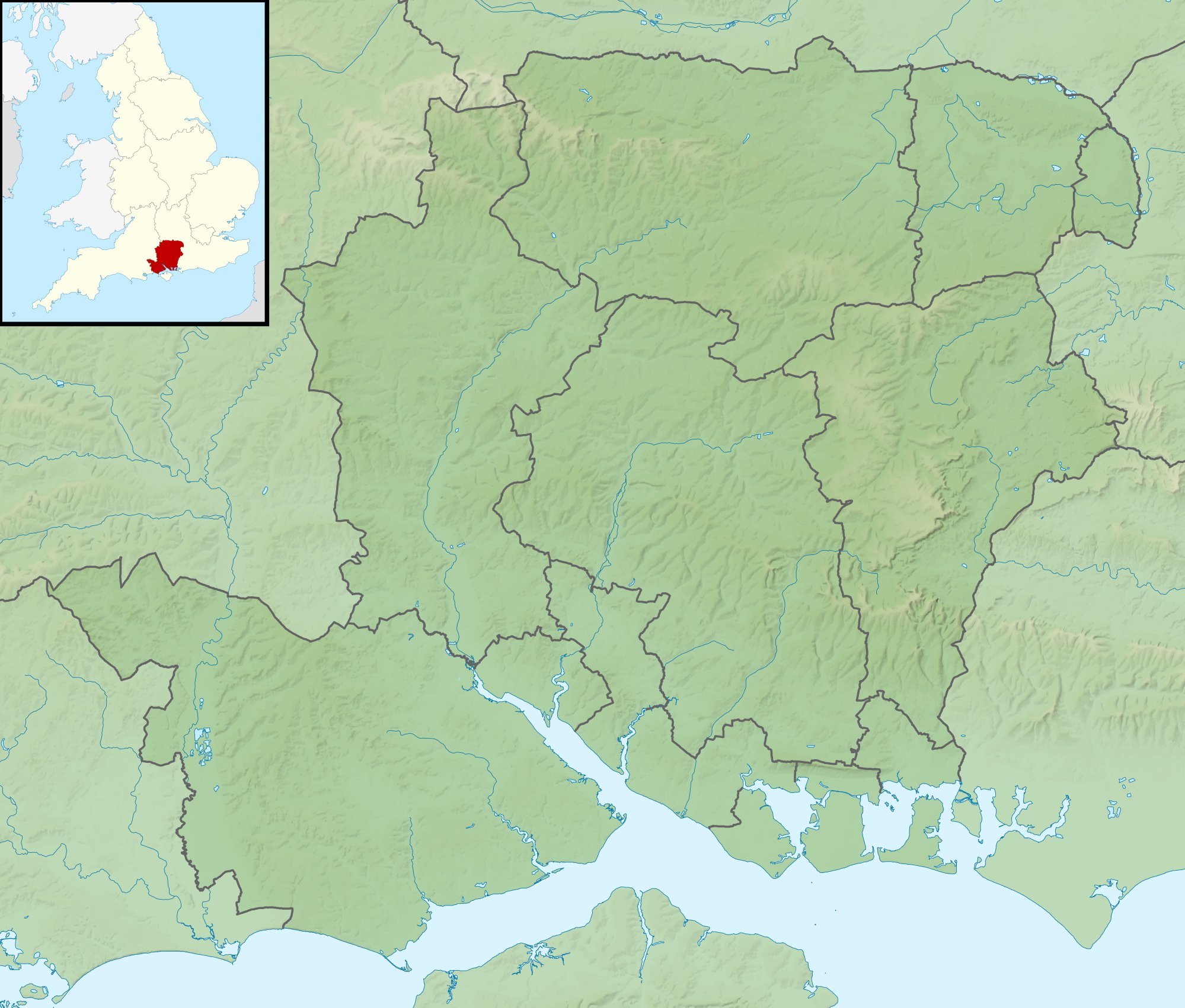
| DescriptionHampshire UK relief location map.jpg |
Relief map of Hampshire, UK. Equirectangular map projection on WGS 84 datum, with N/S stretched 155% Geographic limits:
|
| Date | |
| Source |
|
| Author | Nilfanion, created using Ordnance Survey data |
| Permission (Reusing this file) |
This file is licensed under the Creative Commons Attribution-Share Alike 3.0 Unported license. Attribution: Contains Ordnance Survey data © Crown copyright and database right
|
| Other versions | File:Hampshire UK district map (blank).svg - Blank map |
.svg)
Captions
Add a one-line explanation of what this file represents
Items portrayed in this file
depicts
29 November 2010
File history
Click on a date/time to view the file as it appeared at that time.
| Date/Time | Thumbnail | Dimensions | User | Comment | |
|---|---|---|---|---|---|
| current | 01:39, 29 November 2011 | | 1,999 × 1,702 (407 KB) | Nilfanion | {{Information |Description=Relief map of Hampshire, UK. Equirectangular map projection on WGS 84 datum, with N/S stretched 155% Geographic limits: *West: 2.01W *East: 0.68W *North: 51.41N *South: 50.68N |Source=[[w:Ordnance Survey|Ordnan |
File usage
The following pages on the English Wikipedia use this file (pages on other projects are not listed):
- Avon Water, Hampshire
- Bartley Water
- Battle of Alton
- Battle of Cheriton
- Battle of the Solent
- Butser Hill
- Calshot Lifeboat Station
- Dark Water (river)
- Fleet Brook
- Gosport and Fareham Inshore Rescue Service
- Hayling Island Lifeboat Station
- Humphrey Bennet
- Ladle Hill
- List of hillforts in England
- Lymington River
- Monks Brook
- Philips PFA Golf Classic
- Pilot Hill, Hampshire
- Portsmouth Lifeboat Station
- Portsmouth and Southsea Synagogue
- River Alre
- River Hamble
- River Hart
- River Slea, Hampshire
- Siege of Basing House
- Solent Rescue
- The Solent
- Twyford Down
- William Ogle, 1st Viscount Ogle
- User:Que/hillforts
- User:Que/sandbox
- Module:Location map/data/Hampshire
- Module:Location map/data/United Kingdom Hampshire
- Module:Location map/data/United Kingdom Hampshire/doc
Global file usage
The following other wikis use this file:
- Usage on ar.wikipedia.org
- Usage on bg.wikipedia.org
- Usage on ceb.wikipedia.org
- Usage on es.wikipedia.org
- Usage on fr.wikipedia.org
- Usage on hi.wikipedia.org
- Usage on ja.wikipedia.org
- Usage on kn.wikipedia.org
- Usage on la.wikipedia.org
- Usage on lv.wikipedia.org
- Usage on mk.wikipedia.org
- Usage on nl.wikipedia.org
- Usage on os.wikipedia.org
- Usage on pl.wikipedia.org
- Usage on pl.wikibooks.org
View more global usage of this file.