File:Countess_Street_and_the_Town_Hall_(geograph_7073998).jpg
From Wikipedia, the free encyclopedia
Size of this preview: 438 × 600 pixels. Other resolutions: 175 × 240 pixels | 350 × 480 pixels | 561 × 768 pixels | 1,168 × 1,600 pixels.
Original file (1,168 × 1,600 pixels, file size: 296 KB, MIME type: image/jpeg)
| This is a file from the Wikimedia Commons. Information from its description page there is shown below. Commons is a freely licensed media file repository. You can help. |
Summary
| DescriptionCountess Street and the Town Hall (geograph 7073998).jpg |
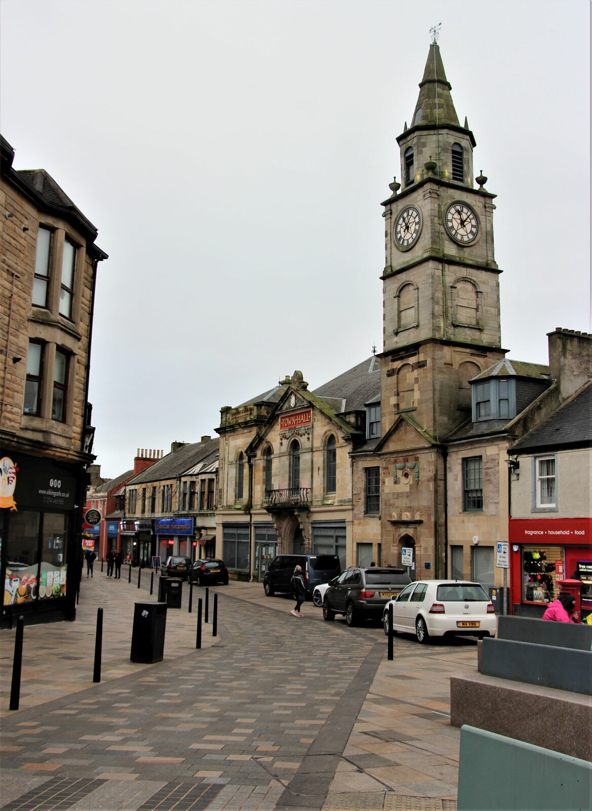
English: Countess Street and the Town Hall |
| Date | |
| Source | From geograph.org.uk |
| Author | Alan Reid |
| Permission (Reusing this file) |
Creative Commons Attribution Share-alike license 2.0 |
| Attribution (required by the license) InfoField | Alan Reid / Countess Street and the Town Hall / |
InfoField | Alan Reid / Countess Street and the Town Hall |
| Camera location | 55° 38′ 00.6″ N, 4° 47′ 05″ W | View this and other nearby images on: OpenStreetMap |
|---|
| Object location | 55° 37′ 59.3″ N, 4° 47′ 07″ W | View this and other nearby images on: OpenStreetMap |
|---|
Licensing

|
This image was taken from the Geograph project collection. See this photograph's page on the Geograph website for the photographer's contact details. The copyright on this image is owned by Alan Reid and is licensed for reuse under the Creative Commons Attribution-ShareAlike 2.0 license.
|
This file is licensed under the Creative Commons Attribution-Share Alike 2.0 Generic license.
Attribution: Alan Reid
- You are free:
- to share – to copy, distribute and transmit the work
- to remix – to adapt the work
- Under the following conditions:
- attribution – You must give appropriate credit, provide a link to the license, and indicate if changes were made. You may do so in any reasonable manner, but not in any way that suggests the licensor endorses you or your use.
- share alike – If you remix, transform, or build upon the material, you must distribute your contributions under the same or compatible license as the original.
Captions
Add a one-line explanation of what this file represents
Items portrayed in this file
depicts
14 January 2022
55°38'0.640"N, 4°47'5.068"W
55°37'59.30"N, 4°47'6.68"W
image/jpeg
88df729a76db67874843fd5c21fdeea7c40c789f
303,382 byte
1,600 pixel
1,168 pixel
File history
Click on a date/time to view the file as it appeared at that time.
| Date/Time | Thumbnail | Dimensions | User | Comment | |
|---|---|---|---|---|---|
| current | 13:06, 25 September 2022 | | 1,168 × 1,600 (296 KB) | Dormskirk | == {{int:filedesc}} == {{Information |Description={{en|1=Countess Street and the Town Hall}} |Source=From [https://www.geograph.org.uk/photo/7073998 geograph.org.uk] |Date=2022-01-14 |Author=[https://www.geograph.org.uk/profile/45856 Alan Reid] |Permission=Creative Commons Attribution Share-alike license 2.0 |Other fields={{Credit line |Author=Alan Reid |License=[https://creativecommons.org/licenses/by-sa/2.0/ CC BY-SA 2.0] |Other=''Countess Street and the Town Hall'' }} }} {{Location|55.... |
File usage
The following pages on the English Wikipedia use this file (pages on other projects are not listed):
.jpg)