File:Control_Tower,_Campbeltown_Airport.jpg
From Wikipedia, the free encyclopedia
No higher resolution available.
Control_Tower,_Campbeltown_Airport.jpg (640 × 481 pixels, file size: 85 KB, MIME type: image/jpeg)
| This is a file from the Wikimedia Commons. Information from its description page there is shown below. Commons is a freely licensed media file repository. You can help. |
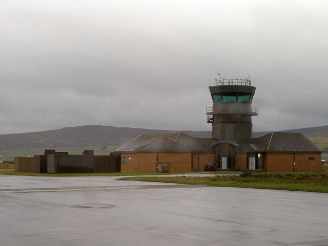
| DescriptionControl Tower, Campbeltown Airport.jpg | Control Tower, Campbeltown Airport |
| Date | |
| Source | From geograph.org.uk |
| Author | Patrick Mackie |
| Permission (Reusing this file) |
Creative Commons Attribution Share-alike license 2.0 |
| Camera location | 55° 26′ 28.64″ N, 5° 41′ 52.62″ W | View this and other nearby images on: OpenStreetMap |
|---|

|
This image was taken from the Geograph project collection. See this photograph's page on the Geograph website for the photographer's contact details. The copyright on this image is owned by Patrick Mackie and is licensed for reuse under the Creative Commons Attribution-ShareAlike 2.0 license.
|
This file is licensed under the Creative Commons Attribution-Share Alike 2.0 Generic license.
Attribution: Patrick Mackie
- You are free:
- to share – to copy, distribute and transmit the work
- to remix – to adapt the work
- Under the following conditions:
- attribution – You must give appropriate credit, provide a link to the license, and indicate if changes were made. You may do so in any reasonable manner, but not in any way that suggests the licensor endorses you or your use.
- share alike – If you remix, transform, or build upon the material, you must distribute your contributions under the same or compatible license as the original.
Captions
Add a one-line explanation of what this file represents
Items portrayed in this file
depicts
some value
13 December 2006
55°26'28.64"N, 5°41'52.62"W
image/jpeg
7c792bec884e27a5d90425a8ea431ffcf43e0c9f
87,058 byte
481 pixel
640 pixel
File history
Click on a date/time to view the file as it appeared at that time.
| Date/Time | Thumbnail | Dimensions | User | Comment | |
|---|---|---|---|---|---|
| current | 15:18, 21 July 2008 | | 640 × 481 (85 KB) | Angusmclellan | {{Information |Description=Control Tower, Campbeltown Airport |Source=From [http://www.geograph.org.uk/photo/293259 geograph.org.uk] |Date=2006-12-13 |Author=[http://www.geograph.org.uk/profile/2208 Patrick Mackie] |Permission=Creative Commons Attribution |
File usage
The following pages on the English Wikipedia use this file (pages on other projects are not listed):
Global file usage
The following other wikis use this file:
- Usage on arz.wikipedia.org
- Usage on ceb.wikipedia.org
- Usage on de.wikipedia.org
- Usage on de.wikivoyage.org
- Usage on en.wikivoyage.org
- Usage on fa.wikipedia.org
- Usage on fr.wikipedia.org
- Usage on ga.wikipedia.org
- Usage on gd.wikipedia.org
- Usage on it.wikivoyage.org
- Usage on ro.wikipedia.org
- Usage on ru.wikipedia.org
- Usage on sv.wikipedia.org
- Usage on tg.wikipedia.org
- Usage on tr.wikipedia.org
- Usage on vi.wikipedia.org
- Usage on www.wikidata.org