File:ChainOfRocksBridge_StLouisMO.jpg
From Wikipedia, the free encyclopedia
Size of this preview: 800 × 518 pixels. Other resolutions: 320 × 207 pixels | 640 × 415 pixels | 1,024 × 663 pixels | 1,389 × 900 pixels.
Original file (1,389 × 900 pixels, file size: 212 KB, MIME type: image/jpeg)
| This is a file from the Wikimedia Commons. Information from its description page there is shown below. Commons is a freely licensed media file repository. You can help. |
|
This is an image of a place or building that is listed on the National Register of Historic Places in the United States of America. Its reference number is 6001091. |
Summary
| DescriptionChainOfRocksBridge StLouisMO.jpg |
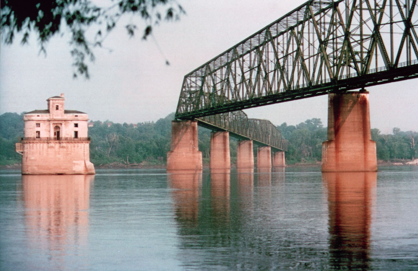
English: St. Louis Water Intake (lighthouse). Chain of Rocks Bridge crossing the Mississippi River in Saint Louis, Missouri. |
| Date | 20131112235346 |
| Source | http://www.fhwa.dot.gov/byways/photos/62782 archive copy at the Wayback Machine |
| Author | David Hinkson, http://www.trailnet.org/ |
| Object location | 38° 45′ 41″ N, 90° 10′ 26″ W | View this and other nearby images on: OpenStreetMap |
|---|
Licensing
| Public domainPublic domainfalsefalse |
| This work has been released into the public domain by its author, David Hinkson. This applies worldwide. In some countries this may not be legally possible; if so: David Hinkson grants anyone the right to use this work for any purpose, without any conditions, unless such conditions are required by law. Public domainPublic domainfalsefalse |
Captions
Add a one-line explanation of what this file represents
Items portrayed in this file
depicts
38°45'41.000"N, 90°10'26.000"W
image/jpeg
38c87d261687e790452f867dabce0d64ce0de98a
217,550 byte
900 pixel
1,389 pixel
File history
Click on a date/time to view the file as it appeared at that time.
| Date/Time | Thumbnail | Dimensions | User | Comment | |
|---|---|---|---|---|---|
| current | 17:15, 6 April 2006 | | 1,389 × 900 (212 KB) | Holly Cheng | w:Chain of Rocks Bridge crossing the Mississippi River in w:Saint Louis, Missouri. Source: http://library.byways.org/download.html?DOWNLOAD_ID=1144343502&FILE_ID= |
File usage
The following pages on the English Wikipedia use this file (pages on other projects are not listed):
- Chain of Rocks Bridge
- Historic and Architectural Resources of Route 66 Through Illinois
- List of bridges on the National Register of Historic Places in Illinois
- List of bridges on the National Register of Historic Places in Missouri
- Madison, Illinois
- Mississippi River
- National Register of Historic Places listings in Madison County, Illinois
- National Register of Historic Places listings in St. Louis north and west of downtown
- Riverview, St. Louis
- U.S. Route 66 in Illinois
- Template talk:Infobox bridge/Archive 1
Global file usage
The following other wikis use this file:
- Usage on azb.wikipedia.org
- Usage on bo.wikipedia.org
- Usage on de.wikipedia.org
- Usage on de.wikivoyage.org
- Usage on fr.wikipedia.org
- Usage on he.wikipedia.org
- Usage on it.wikipedia.org
- Usage on nl.wikipedia.org
- Usage on oc.wikipedia.org
- Usage on pl.wikipedia.org
- Usage on pms.wikipedia.org
- Usage on pt.wikipedia.org
- Usage on www.wikidata.org
Metadata
This file contains additional information, probably added from the digital camera or scanner used to create or digitize it.
If the file has been modified from its original state, some details may not fully reflect the modified file.
| Orientation | Normal |
|---|---|
| Horizontal resolution | 72 dpi |
| Vertical resolution | 72 dpi |
| Software used | Adobe Photoshop 7.0 |
| File change date and time | 15:07, 22 July 2005 |
| Color space | Uncalibrated |
Retrieved from "https://en.wikipedia.org/wiki/File:ChainOfRocksBridge_StLouisMO.jpg"