File:Barents_sp.png
From Wikipedia, the free encyclopedia
No higher resolution available.
Barents_sp.png (655 × 599 pixels, file size: 170 KB, MIME type: image/png)
| This is a file from the Wikimedia Commons. Information from its description page there is shown below. Commons is a freely licensed media file repository. You can help. |
Summary
| DescriptionBarents sp.png |
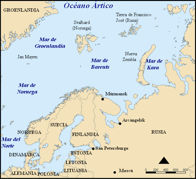
Español: Situación del Mar de Barents.
Mapa del mar de Barents en español. Barents sea map in Spanish. |
| Date | |
| Source | Modified from Image:Barents sea map blank.png |
| Author | Alfanje |
| Other versions |
[edit]
|


This picture was modified from Barents_sea_map.png, bellow you'll find the tag and the information on the previous image
This map shows the location of the Barents Sea north of Russia and Norway, and the surrounding seas and islands.
Created by NormanEinstein, November 25, 2005.
Modified and blanked by historicair 22:27, 28 February 2006 (UTC)
This map was improved or created by the Wikigraphists of the Graphic Lab (fr). You can propose images to clean up, improve, create or translate as well. |
I, the copyright holder of this work, hereby publish it under the following licenses:

|
Permission is granted to copy, distribute and/or modify this document under the terms of the GNU Free Documentation License, Version 1.2 or any later version published by the Free Software Foundation; with no Invariant Sections, no Front-Cover Texts, and no Back-Cover Texts. A copy of the license is included in the section entitled GNU Free Documentation License.http://www.gnu.org/copyleft/fdl.htmlGFDLGNU Free Documentation Licensetruetrue |
| This file is licensed under the Creative Commons Attribution-Share Alike 3.0 Unported license. | ||
| ||
| This licensing tag was added to this file as part of the GFDL licensing update.http://creativecommons.org/licenses/by-sa/3.0/CC BY-SA 3.0Creative Commons Attribution-Share Alike 3.0truetrue |
You may select the license of your choice.
Captions
Add a one-line explanation of what this file represents
Items portrayed in this file
depicts
17 May 2006
image/png
0224d3532cf3d6e1077be653cf4808bbb70ce00d
174,112 byte
599 pixel
655 pixel
File history
Click on a date/time to view the file as it appeared at that time.
| Date/Time | Thumbnail | Dimensions | User | Comment | |
|---|---|---|---|---|---|
| current | 15:32, 17 May 2006 | | 655 × 599 (170 KB) | Alfanje~commonswiki | Mapa del mar de Barents en español. Barents sea map in Spanish. Modified from Image:Barents sea blank map.png |
File usage
No pages on the English Wikipedia use this file (pages on other projects are not listed).
Global file usage
The following other wikis use this file:
- Usage on ca.wikipedia.org
- Usage on es.wikipedia.org
- Usage on eu.wikipedia.org
- Usage on gl.wikipedia.org
- Usage on pl.wiktionary.org
Retrieved from "https://en.wikipedia.org/wiki/File:Barents_sp.png"