File:BBA_Route_Nationale_N5.JPG
From Wikipedia, the free encyclopedia
Size of this preview: 800 × 469 pixels. Other resolutions: 320 × 188 pixels | 640 × 375 pixels | 1,024 × 601 pixels | 1,280 × 751 pixels | 2,590 × 1,519 pixels.
Original file (2,590 × 1,519 pixels, file size: 991 KB, MIME type: image/jpeg)
| This is a file from the Wikimedia Commons. Information from its description page there is shown below. Commons is a freely licensed media file repository. You can help. |
Summary
| DescriptionBBA Route Nationale N5.JPG |
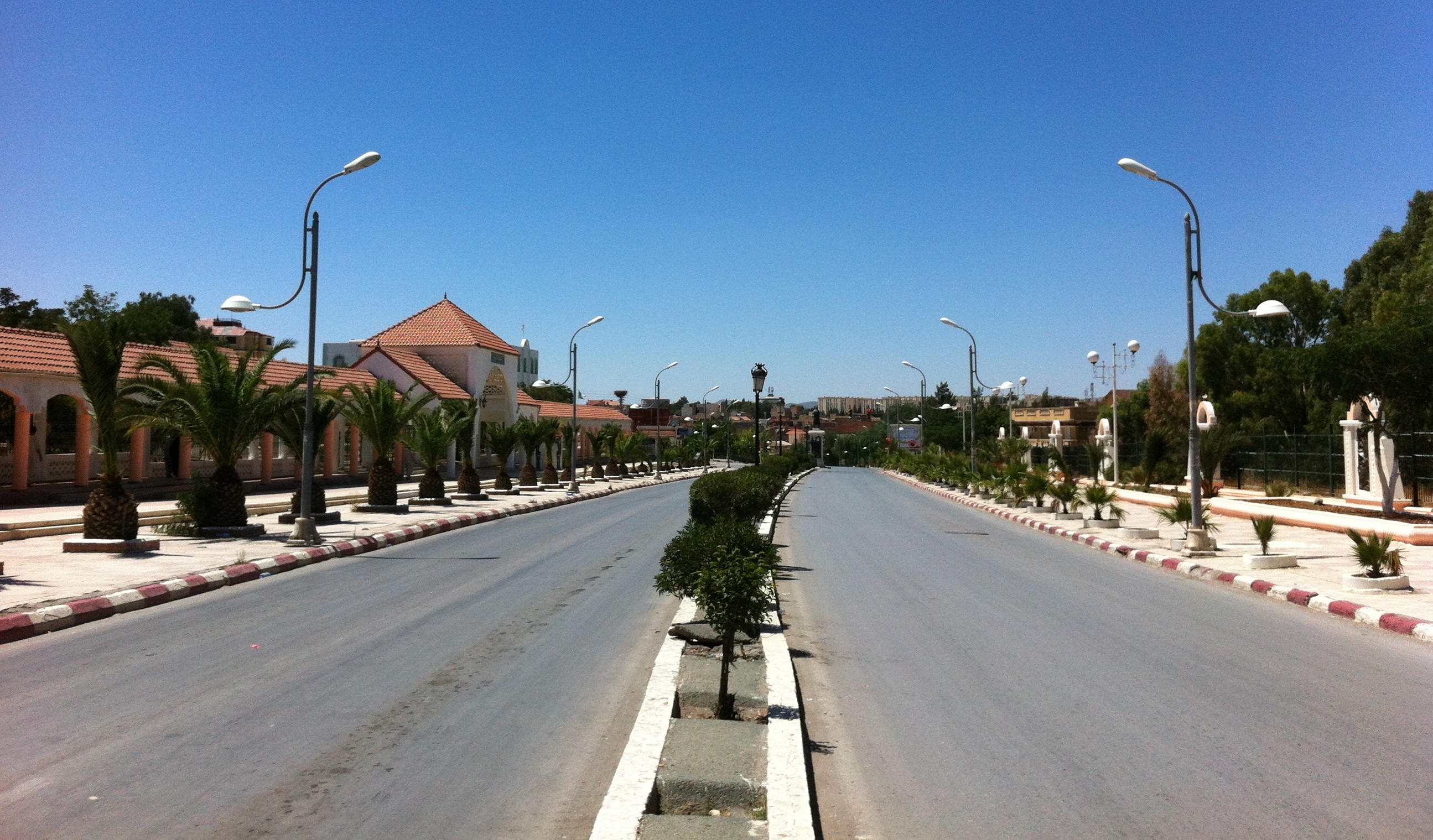
English: Bordj Bou Arreridj (Algeria), highway N5 crossing the downtown.
Français : Bordj Bou Arréridj (Algérie) route nationale N5 traversant le centre de la ville.
العربية: برج بوعريريج (الجزائر)، الطريق الوطني رقم 5 ماراً بوسط المدينة |
| Date | |
| Source | Own work |
| Author | Behindde |
| Camera location | 36° 04′ 24.6″ N, 4° 45′ 54.6″ E | View this and other nearby images on: OpenStreetMap |
|---|
Licensing
I, the copyright holder of this work, hereby publish it under the following licenses:

|
Permission is granted to copy, distribute and/or modify this document under the terms of the GNU Free Documentation License, Version 1.2 or any later version published by the Free Software Foundation; with no Invariant Sections, no Front-Cover Texts, and no Back-Cover Texts. A copy of the license is included in the section entitled GNU Free Documentation License.http://www.gnu.org/copyleft/fdl.htmlGFDLGNU Free Documentation Licensetruetrue |
This file is licensed under the Creative Commons Attribution-Share Alike 3.0 Unported, 2.5 Generic, 2.0 Generic and 1.0 Generic license.
- You are free:
- to share – to copy, distribute and transmit the work
- to remix – to adapt the work
- Under the following conditions:
- attribution – You must give appropriate credit, provide a link to the license, and indicate if changes were made. You may do so in any reasonable manner, but not in any way that suggests the licensor endorses you or your use.
- share alike – If you remix, transform, or build upon the material, you must distribute your contributions under the same or compatible license as the original.
You may select the license of your choice.
Captions
Add a one-line explanation of what this file represents
Items portrayed in this file
depicts
2 August 2013
36°4'24.600"N, 4°45'54.601"E
0.00039777247414478918 second
2.8
3.85 millimetre
image/jpeg
20a5345bef0e2da4836f728d48b966528503ad95
1,014,659 byte
1,519 pixel
2,590 pixel
File history
Click on a date/time to view the file as it appeared at that time.
| Date/Time | Thumbnail | Dimensions | User | Comment | |
|---|---|---|---|---|---|
| current | 13:32, 2 August 2013 | | 2,590 × 1,519 (991 KB) | Behindde | {{Information |Description ={{en|1=Bordj Bou Arreridj (Algeria), highway N5 crossing the downtown}} {{fr|1=Bordj Bou Arréridj (Algérie) route nationale N5 traversant le centre de la ville.}} |Source ={{own}} |Author =[[User:Behindd... |
File usage
The following pages on the English Wikipedia use this file (pages on other projects are not listed):
Global file usage
The following other wikis use this file:
- Usage on ar.wikipedia.org
- Usage on azb.wikipedia.org
- Usage on es.wikipedia.org
- Usage on fa.wikipedia.org
- Usage on fr.wikipedia.org
- Usage on hi.wikipedia.org
- Usage on id.wikipedia.org
- Usage on ja.wikipedia.org
- Usage on ko.wikipedia.org
- Usage on ms.wikipedia.org
- Usage on sw.wikipedia.org
- Usage on ur.wikipedia.org
- Usage on uz.wikipedia.org
Metadata
This file contains additional information, probably added from the digital camera or scanner used to create or digitize it.
If the file has been modified from its original state, some details may not fully reflect the modified file.
| Camera manufacturer | Apple |
|---|---|
| Camera model | iPhone 4 |
| Exposure time | 1/2,514 sec (0.00039777247414479) |
| F-number | f/2.8 |
| ISO speed rating | 80 |
| Date and time of data generation | 13:32, 2 August 2013 |
| Lens focal length | 3.85 mm |
| Latitude | 36° 4′ 24.6″ N |
| Longitude | 4° 45′ 54.6″ E |
| Altitude | 915.725 meters above sea level |
| Orientation | Normal |
| Horizontal resolution | 72 dpi |
| Vertical resolution | 72 dpi |
| Software used | Shotwell 0.14.1 |
| File change date and time | 13:32, 2 August 2013 |
| Y and C positioning | Centered |
| Exposure Program | Normal program |
| Exif version | 2.21 |
| Date and time of digitizing | 13:32, 2 August 2013 |
| Meaning of each component |
|
| Shutter speed | 11.295624332978 |
| APEX aperture | 2.970853573907 |
| APEX brightness | 10.280056577086 |
| Metering mode | Pattern |
| Flash | Flash did not fire, compulsory flash suppression |
| Supported Flashpix version | 1 |
| Color space | sRGB |
| Sensing method | One-chip color area sensor |
| Exposure mode | Auto exposure |
| White balance | Auto white balance |
| Focal length in 35 mm film | 35 mm |
| Scene capture type | Standard |
| GPS time (atomic clock) | 12:32:56.12 |
| Reference for direction of image | Magnetic direction |
| Direction of image | 279.51052631579 |
| Image width | 2,590 px |
| Image height | 1,519 px |
| Width | 1 px |
Retrieved from "https://en.wikipedia.org/wiki/File:BBA_Route_Nationale_N5.JPG"