File:A2_-_A256_junction_-_geograph.org.uk_-_124432.jpg
From Wikipedia, the free encyclopedia
No higher resolution available.
A2_-_A256_junction_-_geograph.org.uk_-_124432.jpg (640 × 501 pixels, file size: 56 KB, MIME type: image/jpeg)
| This is a file from the Wikimedia Commons. Information from its description page there is shown below. Commons is a freely licensed media file repository. You can help. |
Summary
| DescriptionA2 - A256 junction - geograph.org.uk - 124432.jpg |
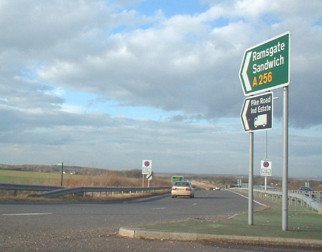
English: A2 / A256 junction. The junction between the A2 and A256 from Dover to Thanet is the main feature of this square. |
| Date | |
| Source | From geograph.org.uk |
| Author | Rosie Burnham |
| Attribution (required by the license) InfoField | Rosie Burnham / A2 / A256 junction / |
InfoField | Rosie Burnham / A2 / A256 junction |
| Camera location | 51° 09′ 15″ N, 1° 18′ 29″ E | View this and other nearby images on: OpenStreetMap |
|---|
| Object location | 51° 09′ 15″ N, 1° 18′ 29″ E | View this and other nearby images on: OpenStreetMap |
|---|
Licensing

|
This image was taken from the Geograph project collection. See this photograph's page on the Geograph website for the photographer's contact details. The copyright on this image is owned by Rosie Burnham and is licensed for reuse under the Creative Commons Attribution-ShareAlike 2.0 license.
|
This file is licensed under the Creative Commons Attribution-Share Alike 2.0 Generic license.
Attribution: Rosie Burnham
- You are free:
- to share – to copy, distribute and transmit the work
- to remix – to adapt the work
- Under the following conditions:
- attribution – You must give appropriate credit, provide a link to the license, and indicate if changes were made. You may do so in any reasonable manner, but not in any way that suggests the licensor endorses you or your use.
- share alike – If you remix, transform, or build upon the material, you must distribute your contributions under the same or compatible license as the original.
Captions
Add a one-line explanation of what this file represents
Items portrayed in this file
depicts
some value
51°9'15.5"N, 1°18'28.8"E
17 February 2006
51°9'15.5"N, 1°18'28.8"E
image/jpeg
001db3410957b1c38885cdc0a9007d96f96f800c
57,809 byte
501 pixel
640 pixel
File history
Click on a date/time to view the file as it appeared at that time.
| Date/Time | Thumbnail | Dimensions | User | Comment | |
|---|---|---|---|---|---|
| current | 02:02, 31 January 2010 | | 640 × 501 (56 KB) | GeographBot | == {{int:filedesc}} == {{Information |description={{en|1=A2 / A256 junction. The junction between the A2 and A256 from Dover to Thanet is the main feature of this square.}} |date=2006-02-17 |source=From [http://www.geograph.org.uk/photo/124432 geograph.or |
File usage
The following pages on the English Wikipedia use this file (pages on other projects are not listed):