File:Yemen_districts.png
From Wikipedia, the free encyclopedia
Size of this preview: 800 × 513 pixels. Other resolutions: 320 × 205 pixels | 640 × 411 pixels | 1,024 × 657 pixels | 1,280 × 821 pixels | 1,601 × 1,027 pixels.
Original file (1,601 × 1,027 pixels, file size: 46 KB, MIME type: image/png)
| This is a file from the Wikimedia Commons. Information from its description page there is shown below. Commons is a freely licensed media file repository. You can help. |
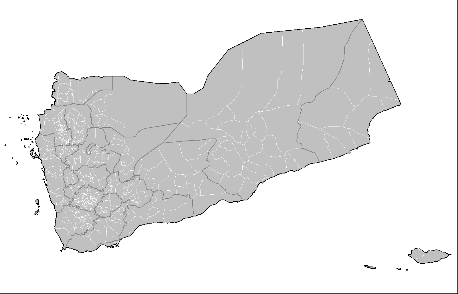
Summary
| DescriptionYemen districts.png |
English: Map of the districts of Yemen. Created using MapInfo Professional v8.5 and various mapping resources. |
| Date | 15 November 2007 (original upload date) |
| Source | Own work |
| Author | Rarelibra |

|
This map image could be re-created using vector graphics as an SVG file. This has several advantages; see Commons:Media for cleanup for more information. If an SVG form of this image is available, please upload it and afterwards replace this template with
{{vector version available|new image name}}.
It is recommended to name the SVG file “Yemen districts.svg”—then the template Vector version available (or Vva) does not need the new image name parameter. |
Licensing
| Public domainPublic domainfalsefalse |
| I, the copyright holder of this work, release this work into the public domain. This applies worldwide. In some countries this may not be legally possible; if so: I grant anyone the right to use this work for any purpose, without any conditions, unless such conditions are required by law. |
Captions
Add a one-line explanation of what this file represents
Items portrayed in this file
depicts
15 November 2007
File history
Click on a date/time to view the file as it appeared at that time.
| Date/Time | Thumbnail | Dimensions | User | Comment | |
|---|---|---|---|---|---|
| current | 15:03, 16 November 2007 | | 1,601 × 1,027 (46 KB) | Rarelibra | Updated districts |
| 23:07, 15 November 2007 |  | 1,601 × 1,027 (39 KB) | Rarelibra | Correct with center on islands as well | |
| 23:01, 15 November 2007 |  | 1,601 × 1,027 (42 KB) | Rarelibra | Map of the districts of Yemen. Created by ~~~~ for public domain use, using MapInfo Professional v8.5 and various mapping resources. |
File usage
The following pages on the English Wikipedia use this file (pages on other projects are not listed):
Global file usage
The following other wikis use this file:
- Usage on ar.wikipedia.org
- Usage on bar.wikipedia.org
- Usage on de.wikipedia.org
- Usage on el.wikipedia.org
- Usage on fa.wikipedia.org
- Usage on it.wikipedia.org
- Usage on nn.wikipedia.org
- Usage on tr.wikipedia.org
- Usage on ur.wikipedia.org
- Usage on zh-min-nan.wikipedia.org
Retrieved from "https://en.wikipedia.org/wiki/File:Yemen_districts.png"