File:St_Mary_the_Virgin_Minster-in-Thanet_1.jpg
From Wikipedia, the free encyclopedia
Size of this preview: 800 × 565 pixels. Other resolutions: 320 × 226 pixels | 640 × 452 pixels | 1,024 × 724 pixels | 1,280 × 905 pixels | 2,560 × 1,809 pixels | 5,489 × 3,879 pixels.
Original file (5,489 × 3,879 pixels, file size: 4.21 MB, MIME type: image/jpeg)
| This is a file from the Wikimedia Commons. Information from its description page there is shown below. Commons is a freely licensed media file repository. You can help. |
Summary
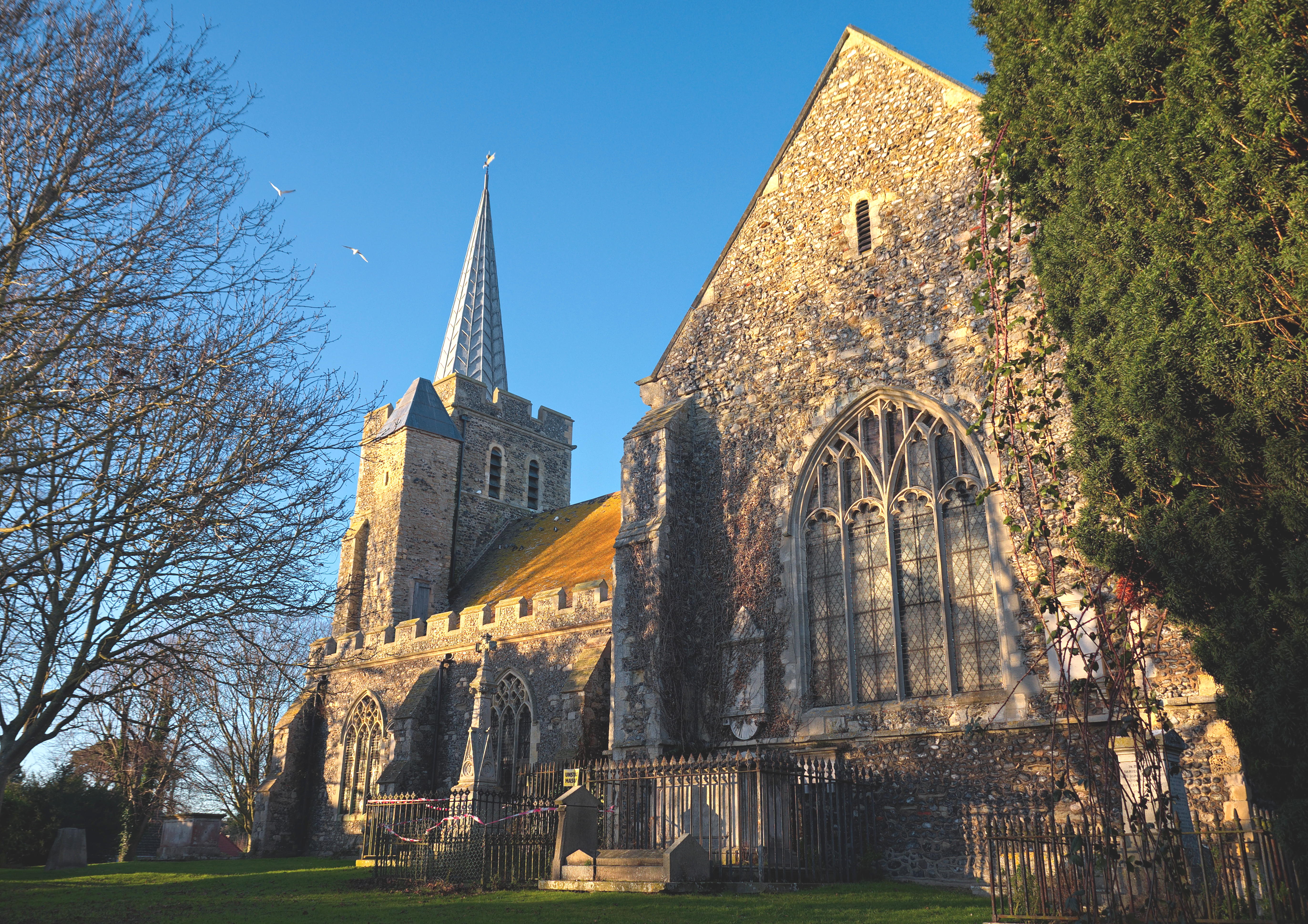
| DescriptionSt Mary the Virgin Minster-in-Thanet 1.jpg |
English: St Mary the Virgin Church in Minster-in-Thanet, Kent. |
| Date | |
| Source | Own work |
| Author | Josh Tilley |
| Camera location | 51° 19′ 52.02″ N, 1° 18′ 55.31″ E | View this and other nearby images on: OpenStreetMap |
|---|
Licensing
I, the copyright holder of this work, hereby publish it under the following license:
This file is licensed under the Creative Commons Attribution-Share Alike 4.0 International license.
- You are free:
- to share – to copy, distribute and transmit the work
- to remix – to adapt the work
- Under the following conditions:
- attribution – You must give appropriate credit, provide a link to the license, and indicate if changes were made. You may do so in any reasonable manner, but not in any way that suggests the licensor endorses you or your use.
- share alike – If you remix, transform, or build upon the material, you must distribute your contributions under the same or compatible license as the original.
Captions
Add a one-line explanation of what this file represents
Items portrayed in this file
depicts
some value
28 December 2017
51°19'52.021"N, 1°18'55.314"E
0.003125 second
5.6
18 millimetre
100
image/jpeg
File history
Click on a date/time to view the file as it appeared at that time.
| Date/Time | Thumbnail | Dimensions | User | Comment | |
|---|---|---|---|---|---|
| current | 14:59, 21 May 2023 | | 5,489 × 3,879 (4.21 MB) | Ulamm | a bit brighter is more natural |
| 07:29, 15 June 2019 |  | 5,489 × 3,879 (8.7 MB) | JoshTilley | Tone, colour and lighting changes, more natural and less saturated | |
| 23:13, 13 January 2018 |  | 5,410 × 3,747 (9.67 MB) | JoshTilley | User created page with UploadWizard |
File usage
The following pages on the English Wikipedia use this file (pages on other projects are not listed):
Global file usage
The following other wikis use this file:
- Usage on de.wikipedia.org
- Usage on fa.wikipedia.org
- Usage on sv.wikipedia.org
- Usage on tr.wikipedia.org
Metadata
This file contains additional information, probably added from the digital camera or scanner used to create or digitize it.
If the file has been modified from its original state, some details may not fully reflect the modified file.
| Camera manufacturer | NIKON CORPORATION |
|---|---|
| Camera model | NIKON D3400 |
| Author | Josh Tilley |
| Copyright holder |
|
| Exposure time | 1/320 sec (0.003125) |
| F-number | f/5.6 |
| ISO speed rating | 100 |
| Date and time of data generation | 14:49, 28 December 2017 |
| Lens focal length | 18 mm |
| Latitude | 51° 19′ 52.02″ N |
| Longitude | 1° 18′ 55.31″ E |
| Altitude | 4 meters above sea level |
| Orientation | Normal |
| Horizontal resolution | 240 dpi |
| Vertical resolution | 240 dpi |
| Software used | ACDSee Pro 10 |
| File change date and time | 15:53, 14 June 2019 |
| Y and C positioning | Centered |
| Pair of black and white reference values |
|
| Exposure Program | Manual |
| Exif version | 2.32 |
| Date and time of digitizing | 14:49, 28 December 2017 |
| Exposure bias | −0.66666666666667 |
| Maximum land aperture | 3.6 APEX (f/3.48) |
| Metering mode | Spot |
| Light source | Unknown |
| Flash | Flash did not fire, compulsory flash suppression |
| DateTime subseconds | 734 |
| DateTimeOriginal subseconds | 30 |
| DateTimeDigitized subseconds | 30 |
| Sensing method | One-chip color area sensor |
| File source | Digital still camera |
| Scene type | A directly photographed image |
| Custom image processing | Normal process |
| Exposure mode | Manual exposure |
| White balance | Auto white balance |
| Focal length in 35 mm film | 27 mm |
| Scene capture type | Standard |
| Scene control | None |
| Contrast | Normal |
| Saturation | Normal |
| Sharpness | Normal |
| Subject distance range | Unknown |
| GPS time (atomic clock) | 14:39 |
| Satellites used for measurement | 00 |
| Geodetic survey data used | WGS-84 |
| GPS date | 28 December 2017 |
| GPS tag version | 0.0.3.2 |
| Image width | 5,489 px |
| Image height | 3,879 px |
| IIM version | 2 |