File:BlankMapTurkeyProvinces.png
維基百科,自由的 encyclopedia
本预览的尺寸:800 × 391像素。 其他分辨率:320 × 156像素 | 640 × 313像素 | 1,024 × 500像素。
原始文件 (1,024 × 500像素,文件大小:35 KB,MIME类型:image/png)
摘要
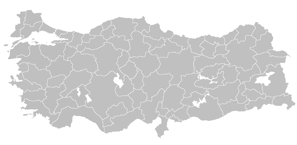
| 描述BlankMapTurkeyProvinces.png | Blank map of Republic of Turkey's provinces. The regions are carefully separated on per pixel basis and ready for filling in with a paint tool. |
| 日期 | |
| 来源 | Self drawn from scratch, based on data from official Turkish motorway network map |
| 作者 | Atilim Gunes Baydin |
| 授权 (二次使用本文件) |
I grant permission for anyone to use this under the terms of GFDL license, see below |
| 其他版本 | 此文件衍生的作品: Secim2009Turkey.png and File:Ali Galip landing map.png |
许可协议
我,本作品著作权人,特此采用以下许可协议发表本作品:

|
已授权您依据自由软件基金会发行的无固定段落及封面封底文字(Invariant Sections, Front-Cover Texts, and Back-Cover Texts)的GNU自由文件许可协议1.2版或任意后续版本的条款,复制、传播和/或修改本文件。该协议的副本请见“GNU Free Documentation License”。http://www.gnu.org/copyleft/fdl.htmlGFDLGNU Free Documentation Licensetruetrue |
| 本文件采用知识共享署名-相同方式共享 3.0 未本地化版本许可协议授权。 | ||
| ||
| 本许可协议标签作为GFDL许可协议更新的组成部分被添加至本文件。http://creativecommons.org/licenses/by-sa/3.0/CC BY-SA 3.0Creative Commons Attribution-Share Alike 3.0truetrue |
您可以选择您需要的许可协议。

|
File:Turkey provinces blank gray.svg是此文件的矢量版本。 如果此文件质量不低于原点阵图,就应该将这个PNG格式文件替换为此文件。
File:BlankMapTurkeyProvinces.png → File:Turkey provinces blank gray.svg
更多信息请参阅Help:SVG/zh。
|
 |
说明
添加一行文字以描述该文件所表现的内容
此文件中描述的项目
描繪內容
21 12 2006
image/png
35,650 字节
500 像素
1,024 像素
文件历史
点击某个日期/时间查看对应时刻的文件。
| 日期/时间 | 缩略图 | 大小 | 用户 | 备注 | |
|---|---|---|---|---|---|
| 当前 | 2013年4月25日 (四) 20:40 | | 1,024 × 500(35 KB) | Maurice07 | Added Bozcaada and some islands on Marmara Sea |
| 2007年2月18日 (日) 22:14 |  | 1,024 × 500(23 KB) | AtilimGunesBaydin | Removed Samothraki, which was accidentally included. I'm sorry for the mistake. | |
| 2006年12月22日 (五) 16:46 |  | 1,024 × 500(23 KB) | AtilimGunesBaydin | Slight resize. | |
| 2006年12月21日 (四) 21:51 |  | 1,024 × 499(23 KB) | AtilimGunesBaydin | {{Information |Description=Blank map of Republic of Turkey's provinces |Source=Drawn from scratch on based on data from [http://www.kgm.gov.tr/images/trkh-yeni1.jpg official Turkish motorway network map] |Date=December 21, 2006 |Author=[[:e |
文件用途
以下4个页面使用本文件:
全域文件用途
以下其他wiki使用此文件:
- en.wikipedia.org上的用途
- List of largest cities and towns in Turkey
- Provinces of Turkey
- Portal:Turkey
- Government of Turkey
- Portal:Turkey/Provinces
- Template:Turkey Labelled Map
- Administrative divisions of Turkey
- Turkey
- Talk:Ethnic groups in Europe/Archive 2
- Turkish dialects
- User:Underlying lk/sandbox2
- User talk:Vsmith/Archive27
- hi.wikipedia.org上的用途
- hr.wikipedia.org上的用途
- hu.wiktionary.org上的用途
- hy.wikipedia.org上的用途
- id.wikipedia.org上的用途
- Turki
- Provinsi Adana
- Templat:Turki
- Provinsi Adıyaman
- Provinsi Afyonkarahisar
- Provinsi Ağrı
- Provinsi Aksaray
- Provinsi Amasya
- Provinsi Ankara
- Provinsi Konya
- Provinsi Antalya
- Provinsi Ardahan
- Provinsi Artvin
- Provinsi Aydın
- Provinsi Balıkesir
- Provinsi Bartın
- Provinsi Batman
- Provinsi Zonguldak
- Provinsi Yozgat
- Provinsi Yalova
- Provinsi Bayburt
- Provinsi Bilecik
查看此文件的更多全域用途。
元数据
此文件中包含有扩展的信息。这些信息可能是由数码相机或扫描仪在创建或数字化过程中所添加。
如果此文件的源文件已经被修改,一些信息在修改后的文件中将不能完全反映出来。
| 水平分辨率 | 37.79 dpc |
|---|---|
| 垂直分辨率 | 37.79 dpc |
| 文件修改日期时间 | 2007年2月18日 (日) 22:12 |