File:Utah_State_Capitol_seen_from_State_Street.jpg
From Wikipedia, the free encyclopedia
Size of this preview: 800 × 600 pixels. Other resolutions: 320 × 240 pixels | 640 × 480 pixels | 1,024 × 768 pixels | 1,280 × 960 pixels | 2,560 × 1,920 pixels | 3,072 × 2,304 pixels.
Original file (3,072 × 2,304 pixels, file size: 2.12 MB, MIME type: image/jpeg)
| This is a file from the Wikimedia Commons. Information from its description page there is shown below. Commons is a freely licensed media file repository. You can help. |
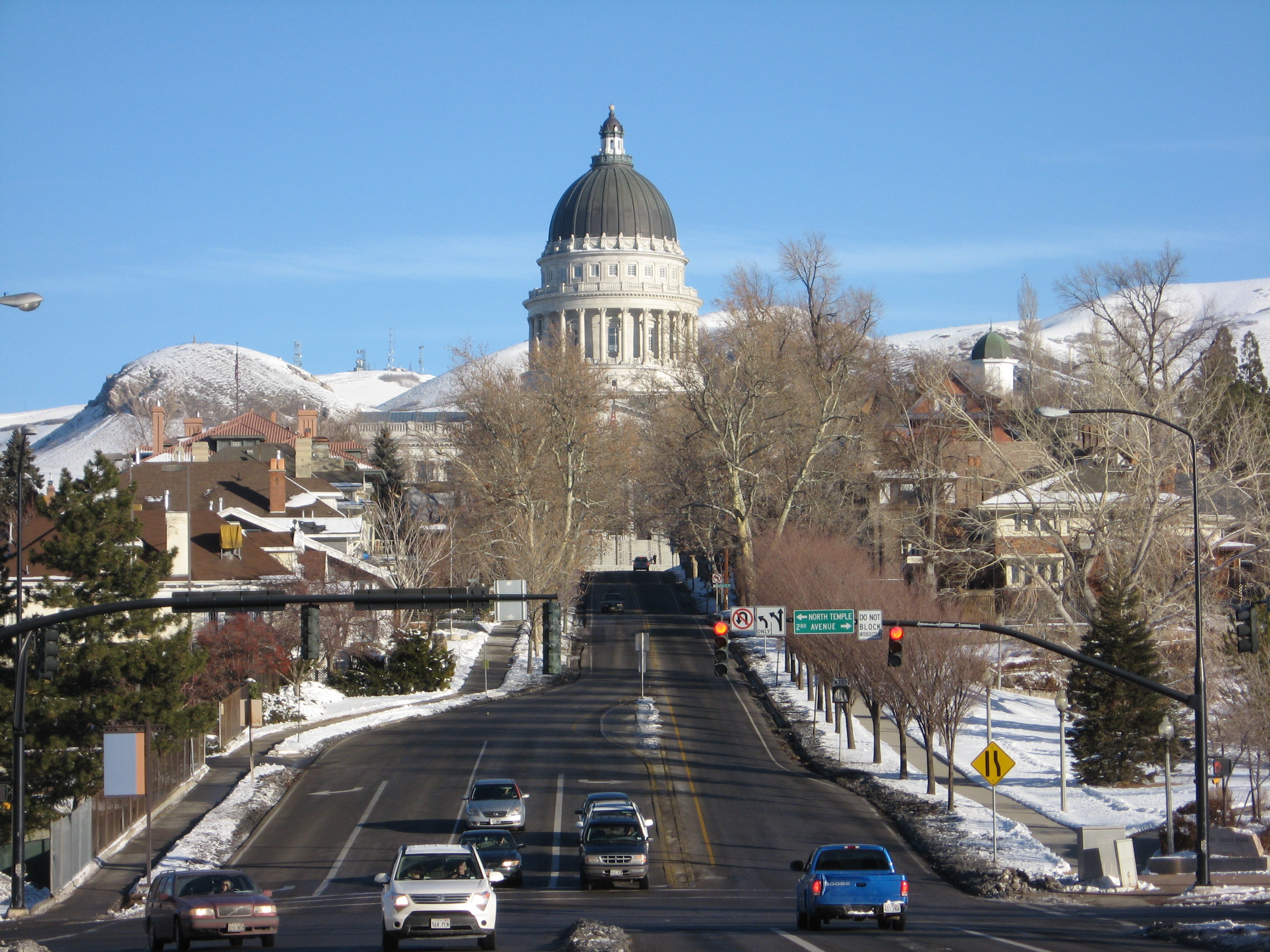
| DescriptionUtah State Capitol seen from State Street.jpg | The Utah State Capitol seen from the south. | |||
| Date | ||||
| Source | Own work | |||
| Author |
I, Padraic Ryan, the copyright holder of this work, hereby publishes it under the following licenses:
This file is licensed under the Creative Commons Attribution-Share Alike 3.0 Unported, 2.5 Generic, 2.0 Generic and 1.0 Generic license. Attribution: I, Padraic Ryan
This file is licensed under the Creative Commons Attribution-Share Alike 2.5 Canada license. Attribution: I, Padraic Ryan
 You may select the license of your choice. |

US-89 northbound used to turn left here, but this is now part of SR-186.
| Camera location | 40° 46′ 16.47″ N, 111° 53′ 17.61″ W | View this and other nearby images on: OpenStreetMap |
|---|
Captions
Add a one-line explanation of what this file represents
Items portrayed in this file
depicts
26 January 2008
40°46'16.475"N, 111°53'17.610"W
File history
Click on a date/time to view the file as it appeared at that time.
| Date/Time | Thumbnail | Dimensions | User | Comment | |
|---|---|---|---|---|---|
| current | 14:55, 6 February 2008 | | 3,072 × 2,304 (2.12 MB) | Padraic | {{Information |Description=The Utah State Capitol seen from the south. |Source=self-made |Date=2008-01-26 |Author={{User:Padraic/Template}} |Permission= |other_versions= }} Category:Utah State Capitol |
File usage
The following pages on the English Wikipedia use this file (pages on other projects are not listed):
Global file usage
The following other wikis use this file:
- Usage on azb.wikipedia.org
- Usage on fa.wikipedia.org
- Usage on fr.wikipedia.org
- Usage on fy.wikipedia.org
- Usage on he.wikipedia.org
- Usage on it.wikipedia.org
- Usage on ru.wikipedia.org
- Usage on simple.wikipedia.org
- Usage on tr.wikipedia.org
- Usage on ur.wikipedia.org
- Usage on www.wikidata.org
- Usage on zh.wikipedia.org
Metadata
This file contains additional information, probably added from the digital camera or scanner used to create or digitize it.
If the file has been modified from its original state, some details may not fully reflect the modified file.
| Camera manufacturer | Canon |
|---|---|
| Camera model | Canon PowerShot A550 |
| Exposure time | 1/400 sec (0.0025) |
| F-number | f/5.5 |
| ISO speed rating | 80 |
| Date and time of data generation | 12:16, 26 January 2008 |
| Lens focal length | 23.2 mm |
| Latitude | 40° 46′ 25″ N |
| Longitude | 111° 53′ 17.53″ W |
| Altitude | 0 meters above sea level |
| Image title | Note the blimp on the left |
| Orientation | Normal |
| Horizontal resolution | 180 dpi |
| Vertical resolution | 180 dpi |
| Software used | Picasa 3.0 |
| File change date and time | 12:16, 26 January 2008 |
| Y and C positioning | Centered |
| Exif version | 2.2 |
| Date and time of digitizing | 12:16, 26 January 2008 |
| Meaning of each component |
|
| Image compression mode | 3 |
| Shutter speed | 8.65625 |
| APEX aperture | 4.90625 |
| Exposure bias | 0 |
| Maximum land aperture | 4.90625 APEX (f/5.48) |
| Metering mode | Pattern |
| Flash | Flash did not fire, auto mode |
| Supported Flashpix version | 1 |
| Color space | sRGB |
| Focal plane X resolution | 13,653.333333333 |
| Focal plane Y resolution | 13,633.136094675 |
| Focal plane resolution unit | inches |
| Sensing method | One-chip color area sensor |
| File source | Digital still camera |
| Custom image processing | Normal process |
| Exposure mode | Auto exposure |
| White balance | Auto white balance |
| Digital zoom ratio | 1 |
| Scene capture type | Standard |
| Unique image ID | 0030b661de277ce80aa10357424b9a99 |
| GPS tag version | 2.2.0.0 |