File:Topographic30deg_N30E0.png
From Wikipedia, the free encyclopedia
Size of this preview: 600 × 600 pixels. Other resolutions: 240 × 240 pixels | 480 × 480 pixels | 768 × 768 pixels | 1,024 × 1,024 pixels | 1,800 × 1,800 pixels.
Original file (1,800 × 1,800 pixels, file size: 1.1 MB, MIME type: image/png)
| This is a file from the Wikimedia Commons. Information from its description page there is shown below. Commons is a freely licensed media file repository. You can help. |
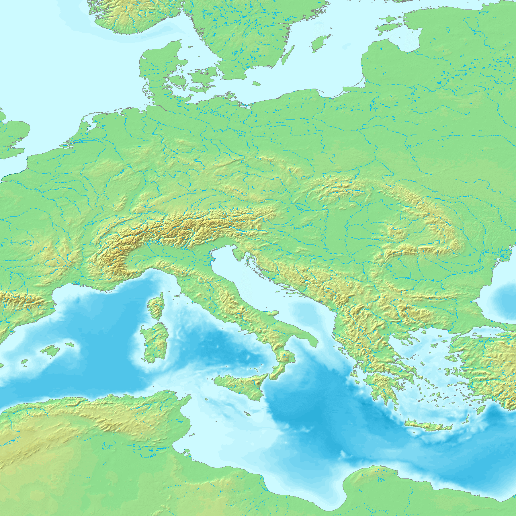
Topographic map 90deg, North latitude: 0 - 90, West longitude: 30 - East longitude: 60
Topographic map 90deg, North latitude: 0 - 90, West longitude: 30 - East longitude: 60
|
| ||||||||||||||||||||||||


Map created from DEMIS Mapserver[dead link], which are public domain. Koba-chan

|
Permission is granted to copy, distribute and/or modify this document under the terms of the GNU Free Documentation License, Version 1.2 or any later version published by the Free Software Foundation; with no Invariant Sections, no Front-Cover Texts, and no Back-Cover Texts. A copy of the license is included in the section entitled GNU Free Documentation License.http://www.gnu.org/copyleft/fdl.htmlGFDLGNU Free Documentation Licensetruetrue |
| This file is licensed under the Creative Commons Attribution-Share Alike 3.0 Unported license. | ||
| ||
| This licensing tag was added to this file as part of the GFDL licensing update.http://creativecommons.org/licenses/by-sa/3.0/CC BY-SA 3.0Creative Commons Attribution-Share Alike 3.0truetrue |
derivative works
Derivative works of this file:
- DDR-Rundfahrt 1956.jpg
- DDR-Rundfahrt 1959.jpg
- DDR-Rundfahrt 1961.jpg
- DDR-Rundfahrt 1962.jpg
- DDR-Rundfahrt 1963.jpg
- DDRM 58.jpg
- FF 1954 Strecke.jpg
- FF 53 Strecke.jpg
- FF 54 Strecke.jpg
- FF 55 Strecke.jpg
- FF 68 Strecke.jpg
- FF 69 Strecke.jpg
- FF.Strecke.56.jpg
Captions
Add a one-line explanation of what this file represents
Items portrayed in this file
depicts
File history
Click on a date/time to view the file as it appeared at that time.
| Date/Time | Thumbnail | Dimensions | User | Comment | |
|---|---|---|---|---|---|
| current | 17:22, 26 May 2005 | | 1,800 × 1,800 (1.1 MB) | Koba-chan | ---- Map created from [http://www2.demis.nl/mapserver/mapper.asp DEMIS Mapserver], which are public domain. Koba-chan {{GFDL}} Category:Topographic maps Category:Earth |
File usage
The following pages on the English Wikipedia use this file (pages on other projects are not listed):
Global file usage
The following other wikis use this file:
- Usage on af.wikipedia.org
- Usage on anp.wikipedia.org
- Usage on ar.wikipedia.org
- Usage on bg.wikipedia.org
- Usage on bn.wikipedia.org
- Usage on cs.wikipedia.org
- Usage on eo.wikipedia.org
- Usage on es.wikipedia.org
- Usage on eu.wikipedia.org
- Usage on fa.wikipedia.org
- Usage on fr.wikipedia.org
- Usage on hi.wikipedia.org
- Usage on ja.wikipedia.org
- Usage on ku.wikipedia.org
- Usage on mk.wikipedia.org
- Usage on nl.wikivoyage.org
- Usage on pl.wikipedia.org
- Usage on pt.wikipedia.org
- Usage on ro.wikipedia.org
- Usage on sk.wikipedia.org
- Usage on sq.wikipedia.org
- Usage on ta.wikipedia.org
- Usage on th.wikipedia.org
- Usage on uk.wikipedia.org
- Usage on zh.wikipedia.org
Metadata
This file contains additional information, probably added from the digital camera or scanner used to create or digitize it.
If the file has been modified from its original state, some details may not fully reflect the modified file.
| File change date and time | 20:34, 26 May 2005 |
|---|---|
| Horizontal resolution | 28.34 dpc |
| Vertical resolution | 28.34 dpc |
Retrieved from "https://en.wikipedia.org/wiki/File:Topographic30deg_N30E0.png"