File:South_Asia_(compilation).png
From Wikipedia, the free encyclopedia
Size of this preview: 800 × 567 pixels. Other resolutions: 320 × 227 pixels | 640 × 454 pixels | 1,024 × 726 pixels | 1,280 × 908 pixels | 2,560 × 1,815 pixels | 4,104 × 2,910 pixels.
Original file (4,104 × 2,910 pixels, file size: 8.12 MB, MIME type: image/png)
| This is a file from the Wikimedia Commons. Information from its description page there is shown below. Commons is a freely licensed media file repository. You can help. |
Summary
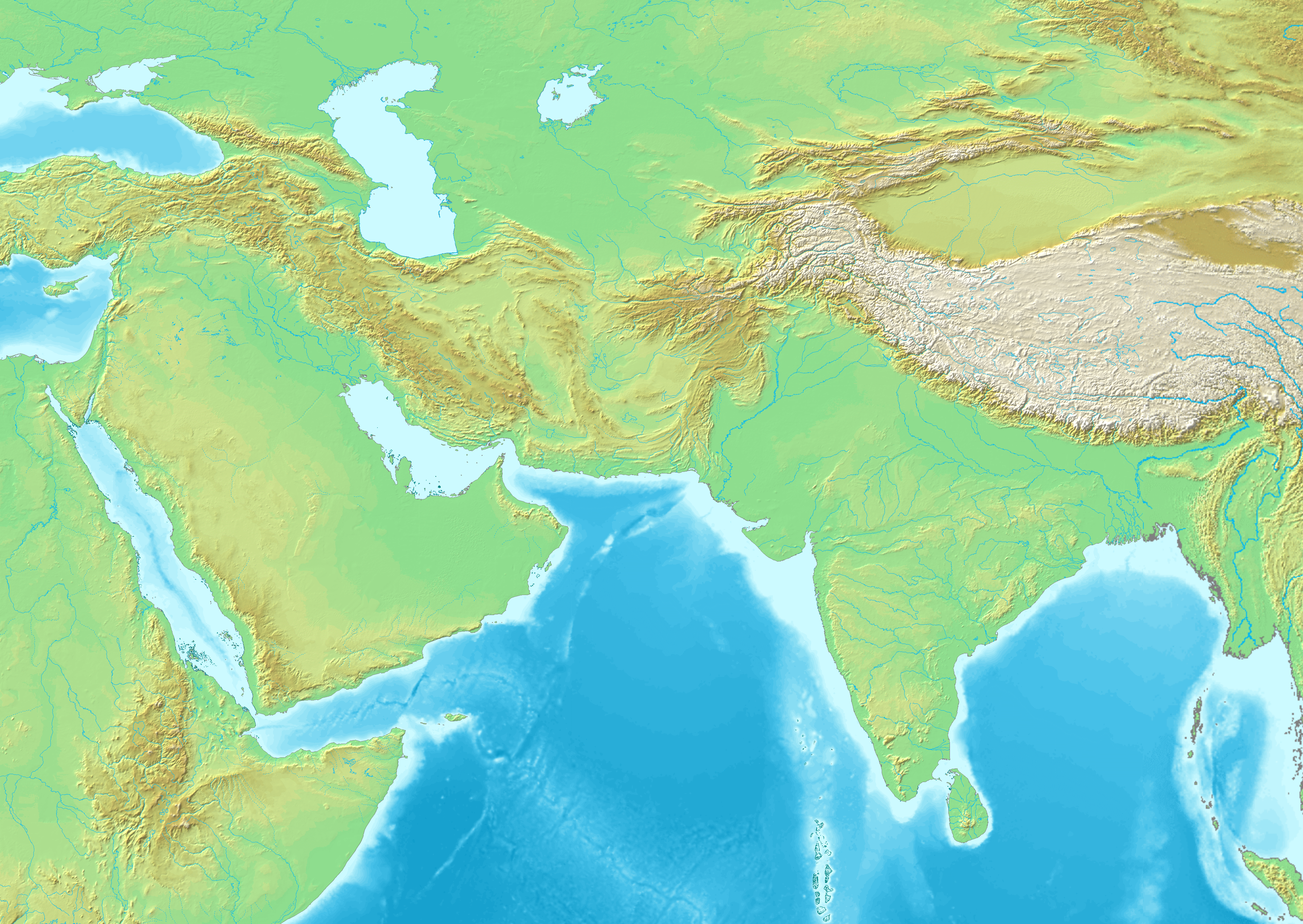
| DescriptionSouth Asia (compilation).png |
English: South Asia (compilation) |
|||||||||||||||
| Date | ||||||||||||||||
| Source |
|
|||||||||||||||
| Author | Maps created from DEMIS Mapserver, which are public domain. Koba-chan |


Licensing

|
Permission is granted to copy, distribute and/or modify this document under the terms of the GNU Free Documentation License, Version 1.2 or any later version published by the Free Software Foundation; with no Invariant Sections, no Front-Cover Texts, and no Back-Cover Texts. A copy of the license is included in the section entitled GNU Free Documentation License.http://www.gnu.org/copyleft/fdl.htmlGFDLGNU Free Documentation Licensetruetrue |
| This file is licensed under the Creative Commons Attribution-Share Alike 3.0 Unported license. | ||
| ||
| This licensing tag was added to this file as part of the GFDL licensing update.http://creativecommons.org/licenses/by-sa/3.0/CC BY-SA 3.0Creative Commons Attribution-Share Alike 3.0truetrue |
Captions
South Asia (compilation)
Items portrayed in this file
depicts
18 December 2021
image/png
File history
Click on a date/time to view the file as it appeared at that time.
| Date/Time | Thumbnail | Dimensions | User | Comment | |
|---|---|---|---|---|---|
| current | 11:49, 18 December 2021 | | 4,104 × 2,910 (8.12 MB) | पाटलिपुत्र | Uploaded a work by Maps created from [http://www2.demis.nl/mapserver/mapper.asp DEMIS Mapserver], which are public domain. Koba-chan from {{extracted from|File:Topographic30deg N30E30.png}} {{extracted from|File:Topographic30deg N0E30.png}} {{extracted from|File:Topographic30deg N30E60.png}} {{extracted from|File:Topographic30deg N0E60.png}} {{extracted from|File:Topographic90deg N0E90.png}} with UploadWizard |
File usage
The following pages on the English Wikipedia use this file (pages on other projects are not listed):
Metadata
This file contains additional information, probably added from the digital camera or scanner used to create or digitize it.
If the file has been modified from its original state, some details may not fully reflect the modified file.
| Horizontal resolution | 72 dpi |
|---|---|
| Vertical resolution | 72 dpi |
| Date and time of digitizing |
|
| File change date and time | 11:46, 18 December 2021 |
Retrieved from "https://en.wikipedia.org/wiki/File:South_Asia_(compilation).png"
.png)