File:Namibia_relief_location_map.jpg
From Wikipedia, the free encyclopedia
Size of this preview: 623 × 600 pixels. Other resolutions: 249 × 240 pixels | 499 × 480 pixels | 798 × 768 pixels | 1,063 × 1,024 pixels | 1,806 × 1,739 pixels.
Original file (1,806 × 1,739 pixels, file size: 1.66 MB, MIME type: image/jpeg)
| This is a file from the Wikimedia Commons. Information from its description page there is shown below. Commons is a freely licensed media file repository. You can help. |
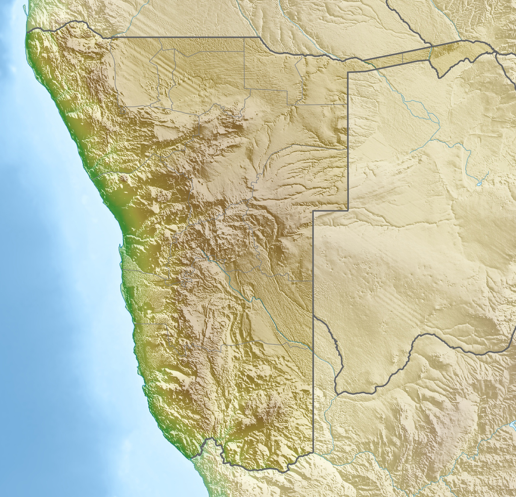
| DescriptionNamibia relief location map.jpg |
Deutsch: Physische Positionskarte von Namibia
Quadratische Plattkarte, N/S-Streckung 108 %. Geographische Begrenzung der Karte:
English: Physical location map of Namibia
Equirectangular projection, N/S streching 108 %. Geographic limits of the map:
|
||
| Date | |||
| Source | Own work, using map data from administrative map by Uwe Dedering. The relief was created from SRTM-30 relief data | ||
| Author | Carport | ||
| Permission (Reusing this file) |
This file is licensed under the Creative Commons Attribution-Share Alike 3.0 Unported license.
This file is licensed under the Creative Commons Attribution-Share Alike 3.0 Germany license.

|
||
| Other versions |
|


Captions
Add a one-line explanation of what this file represents
Items portrayed in this file
depicts
23 April 2010
File history
Click on a date/time to view the file as it appeared at that time.
| Date/Time | Thumbnail | Dimensions | User | Comment | |
|---|---|---|---|---|---|
| current | 18:59, 12 October 2013 | | 1,806 × 1,739 (1.66 MB) | NordNordWest | upd |
| 14:12, 23 April 2010 |  | 1,806 × 1,739 (1.46 MB) | Carport | c | |
| 14:07, 23 April 2010 |  | 1,806 × 1,739 (1.46 MB) | Carport | {{Information |Description={{de|Physische Positionskarte von {{w|Namibia|3=de}}}} Quadratische Plattkarte, N/S-Streckung 108 %. Geographische Begrenzung der Karte: * N: 16.4° S * S: 29.6° S * W: 11.0° O * O: 25.8° O {{en|Physical location map of {{w|N |
File usage
The following pages on the English Wikipedia use this file (pages on other projects are not listed):
- Auas Mountains
- Aurus Mountain
- Bom Jesus (ship)
- Brandberg Mountain
- Brukkaros Mountain
- Burnt Mountain (Namibia)
- Bwabwata National Park
- Cape Cross
- Conception Bay (Namibia)
- Dikwillem
- Dorob National Park
- Doros Complex
- Elisabeth Bay Formation
- Etosha National Park
- Etosha Pan
- Fish River Canyon
- Friedenau Dam
- Gamsberg Nature Reserve
- Geography of Namibia
- Geology of Namibia
- Goreangab Dam
- Hardap Dam
- Hardap Recreation Resort
- Heioab
- High Energy Stereoscopic System
- Höchster
- Khaudum National Park
- Klinghardt Mountains
- Lake Guinas
- Lake Oponona
- Langental Formation
- List of bases of the Namibian Air Force
- List of fossiliferous stratigraphic units in Namibia
- Lüderitz Bay
- MTC Namibia PGA Championship
- MV Dunedin Star
- Mahango Game Park
- Mangetti National Park
- Mudumu National Park
- Namibian Navy
- Neckartal Dam
- Nkasa Rupara National Park
- Olushandja Dam
- Omatako Dam
- Otjikoto Lake
- Owambo Basin
- Rehoboth, Namibia
- Ruacana Falls
- Sandwich Harbour
- Sesriem
- Skeleton Coast National Park
- South African Airways Flight 228
- The White Lady (Namibia)
- Tsaus Mountains
- Von Bach Dam
- Windhoek Islamic Center
- User:Hp.Baumeler/Sandbox Aurus
- User:Hp.Baumeler/Sandbox Heioab
- User:Hp.Baumeler/Sandbox Höchster
- User:Hp.Baumeler/Sandbox Klinghardt mountains
- User:Hp.Baumeler/Sandbox Tsaus
- User:Hp.Baumeler/sandbox
- Module:Location map/data/Namibia
- Module:Location map/data/Namibia/doc
Global file usage
The following other wikis use this file:
- Usage on ar.wikipedia.org
- Usage on ast.wikipedia.org
- Usage on az.wikipedia.org
- Usage on ban.wikipedia.org
- Usage on ba.wikipedia.org
- Usage on be.wikipedia.org
- Usage on bg.wikipedia.org
- Виндхук
- Хардап (язовир)
- Мариентал
- Рихобот
- Катима Мулило
- Рунду
- Опуво
- Кетмансхоп
- Утапи
- Очиваронго
- Енхана
- Людериц
- Ондангва
- Ошиканго
- Малтахьое
- Гобабис
- Ониипа
- Шаблон:ПК Намибия
- Окакарара
- Карасбург
- Свакопмунд
- Ошакати
- Цумеб
- Уолфиш Бей
- Грутфонтейн
- Окаханджа
- Каманжаб
- Мамили
- Свакоп
- Колманскоп
- Каоко
- Дамара (планинска земя)
- Етоша (солончак)
View more global usage of this file.
Metadata
This file contains additional information, probably added from the digital camera or scanner used to create or digitize it.
If the file has been modified from its original state, some details may not fully reflect the modified file.
| Width | 1,806 px |
|---|---|
| Height | 1,739 px |
| Bits per component |
|
| Pixel composition | RGB |
| Orientation | Normal |
| Number of components | 3 |
| Horizontal resolution | 124 dpi |
| Vertical resolution | 124 dpi |
| Software used | Adobe Photoshop CS6 (Macintosh) |
| File change date and time | 20:58, 12 October 2013 |
| Exif version | 2.21 |
| Color space | Uncalibrated |
| Unique ID of original document | 92EA2FB0241A753CEC3C907E1D37766D |
| Date and time of digitizing | 23:05, 22 July 2012 |
| Date metadata was last modified | 22:58, 12 October 2013 |
Retrieved from "https://en.wikipedia.org/wiki/File:Namibia_relief_location_map.jpg"