File:Merseyside_UK_relief_location_map.jpg
From Wikipedia, the free encyclopedia
Size of this preview: 565 × 600 pixels. Other resolutions: 226 × 240 pixels | 452 × 480 pixels | 723 × 768 pixels | 965 × 1,024 pixels | 1,999 × 2,122 pixels.
Original file (1,999 × 2,122 pixels, file size: 278 KB, MIME type: image/jpeg)
| This is a file from the Wikimedia Commons. Information from its description page there is shown below. Commons is a freely licensed media file repository. You can help. |
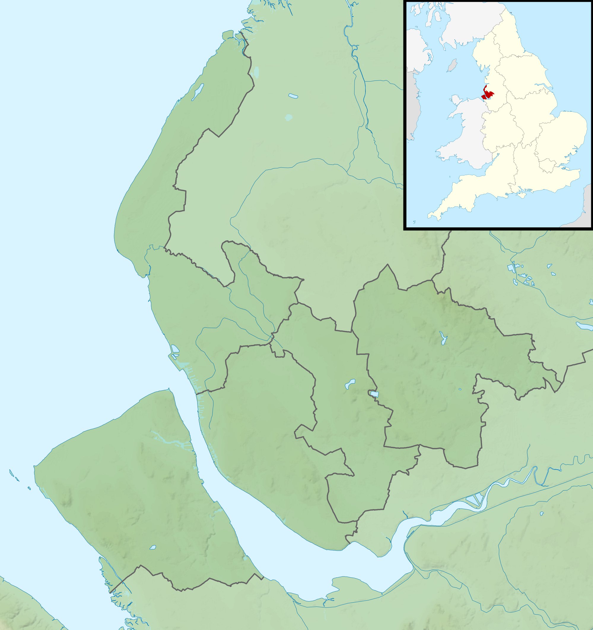
| DescriptionMerseyside UK relief location map.jpg |
Relief map of Merseyside, UK. Equirectangular map projection on WGS 84 datum, with N/S stretched 165% Geographic limits:
|
| Date | |
| Source |
|
| Author | Nilfanion, created using Ordnance Survey data |
| Permission (Reusing this file) |
This file is licensed under the Creative Commons Attribution-Share Alike 3.0 Unported license. Attribution: Contains Ordnance Survey data © Crown copyright and database right
|
| Other versions | File:Merseyside UK district map (blank).svg - Blank map |
.svg)
Captions
Add a one-line explanation of what this file represents
Items portrayed in this file
depicts
29 November 2010
File history
Click on a date/time to view the file as it appeared at that time.
| Date/Time | Thumbnail | Dimensions | User | Comment | |
|---|---|---|---|---|---|
| current | 01:45, 29 November 2011 | | 1,999 × 2,122 (278 KB) | Nilfanion | {{Information |Description=Relief map of Merseyside, UK. Equirectangular map projection on WGS 84 datum, with N/S stretched 165% Geographic limits: *West: 3.24W *East: 2.54W *North: 53.72N *South: 53.27N |Source=[[w:Ordnance Survey|Ordn |
File usage
The following pages on the English Wikipedia use this file (pages on other projects are not listed):
- 2005 Women's British Open
- 2013 Senior Open Championship
- 2014 Women's British Open
- 2017 Open Championship
- 2023 Open Championship
- Billinge Hill
- Bob Hope British Classic
- English Open
- Formby Hall Challenge
- Hillside Golf Club
- Hoylake Lifeboat Station
- Lawrence Batley International
- Merseyside International Open
- New Brighton Lifeboat Station
- River Alt
- Southport Pier
- The Open Championship
- West Kirby Lifeboat Station
- Williamson Tunnels
- Module:Location map/data/Merseyside
- Module:Location map/data/United Kingdom Merseyside
- Module:Location map/data/United Kingdom Merseyside/doc
Global file usage
The following other wikis use this file:
- Usage on ar.wikipedia.org
- Usage on bg.wikipedia.org
- Usage on ceb.wikipedia.org
- Usage on fr.wikipedia.org
- Usage on id.wikipedia.org
- Usage on ja.wikipedia.org
- Usage on kn.wikipedia.org
- Usage on mk.wikipedia.org
- Usage on nl.wikipedia.org
- Usage on os.wikipedia.org
- Usage on pl.wikipedia.org
- Usage on pl.wikibooks.org
- Usage on simple.wikipedia.org
- Usage on si.wikipedia.org
- Usage on sv.wikipedia.org
- Usage on tr.wikipedia.org
- Usage on uk.wikipedia.org
- Usage on war.wikipedia.org
- Usage on zh.wikipedia.org