File:Location_map_USA_St._Louis.png
From Wikipedia, the free encyclopedia
Size of this preview: 568 × 600 pixels. Other resolutions: 227 × 240 pixels | 455 × 480 pixels | 897 × 947 pixels.
Original file (897 × 947 pixels, file size: 1.2 MB, MIME type: image/png)
| This is a file from the Wikimedia Commons. Information from its description page there is shown below. Commons is a freely licensed media file repository. You can help. |
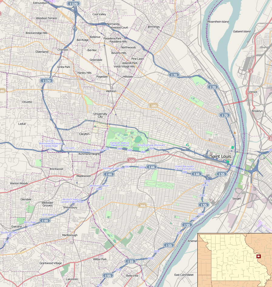
| DescriptionLocation map USA St. Louis.png |
English: Map of St. Louis for pin
Geographic limits of the map:
This file is licensed under the Creative Commons Attribution-Share Alike 2.0 Generic license.
|
| Date | |
| Source | OpenStreetMap. Insert is File:Missouri Locator Map.PNG |
| Author | Dr. Blofeld. Insert by Ruhrfish |
Captions
Add a one-line explanation of what this file represents
Items portrayed in this file
depicts
25 March 2011
File history
Click on a date/time to view the file as it appeared at that time.
| Date/Time | Thumbnail | Dimensions | User | Comment | |
|---|---|---|---|---|---|
| current | 00:11, 26 March 2011 | | 897 × 947 (1.2 MB) | Blofeld Dr. | {{Information |Description ={{en|1=t}} |Source =t |Author =t |Date =t |Permission = |other_versions = }} |
File usage
More than 100 pages use this file. The following list shows the first 100 pages that use this file only. A full list is available.
- 1904 Summer Olympics
- 1907 Dorris Motor Car Company Building
- A & P Food Stores Building
- Anheuser-Busch Brewery
- Antioch Baptist Church (St. Louis, Missouri)
- Assumption Greek Orthodox Church
- Bell Telephone Building (St. Louis, Missouri)
- Bissell Street Water Tower
- Brown Shoe Company's Homes-Take Factory
- Buckingham Hotel
- Campbell House Museum
- Casino Queen
- Centenary Methodist Episcopal Church, South
- Chase Park Plaza Hotel
- Christ Church Cathedral (St. Louis, Missouri)
- Chuck Berry House
- City Hall (University City, Missouri)
- Clemens House-Columbia Brewery District
- Congregation Temple Israel (Creve Coeur, Missouri)
- Cotton Belt Freight Depot
- Council Plaza
- DeMun, St. Louis
- Ely Walker Lofts
- Emmanuel DeHodiamont House
- Eugene Field House (St. Louis)
- First Church of Christ, Scientist (St. Louis, Missouri)
- Forest Park Hotel
- Forest Park Southeast Historic District
- Fox Theatre (St. Louis)
- Frisco Building
- Gateway Arch
- Gateway Arch National Park
- Greenwood Cemetery (Hillsdale, Missouri)
- Greenwood Historic District
- Hamilton Place Historic District
- Harrison School (St. Louis, Missouri)
- Harris–Stowe State University
- Holy Corners Historic District
- Homer G. Phillips Hospital
- Hotel Jefferson (St. Louis, Missouri)
- Immaculate Conception Church and Rectory (St. Louis)
- J. C. Penney Co. Warehouse Building (St. Louis, Missouri)
- Joseph Erlanger House
- Kate Chopin House (St. Louis, Missouri)
- Laclede's Landing, St. Louis
- Lafayette Square Historic District (St. Louis)
- Lennox Hotel
- Lucas Avenue Industrial Historic District
- Marquette Building (St. Louis)
- Marriott St. Louis Grand Hotel
- Maryland Hotel
- Mayfair Hotel (St. Louis, Missouri)
- Midtown Historic District (St. Louis)
- Missouri Athletic Club Building
- Missouri Botanical Garden
- Negro Masonic Hall
- New Mount Sinai Cemetery
- Norwood Hills Country Club
- Old Courthouse (St. Louis)
- One Hundred Above the Park
- Orpheum Theater (St. Louis)
- Orthwein Mansion
- Parkview, St. Louis
- Pendennis Club Apartment Building
- Pevely Dairy Company Plant
- Portland and Westmoreland Places
- Quinn Chapel AME Church (St. Louis, Missouri)
- Railway Exchange Building (St. Louis)
- Robert E. Lee Hotel (St. Louis, Missouri)
- Roberts, Johnson and Rand-International Shoe Company Complex
- Samuel Cupples House
- Second Presbyterian Church (St. Louis, Missouri)
- Shelley House (St. Louis, Missouri)
- Shrine of St. Joseph, St. Louis
- St. Francis Xavier College Church
- St. Francis de Sales Oratory (St. Louis)
- St. John Nepomuk Parish Historic District
- St. Liborius Church and Buildings
- St. Mary of Victories Church
- St. Vincent's Hospital (Normandy, Missouri)
- Standard Adding Machine Company
- Stix Baer & Fuller
- Sugarloaf Mound
- Sutter-Meyer House
- The Hotel Majestic St. Louis
- The Syndicate (building)
- Tower Grove Park
- Ulysses S. Grant National Historic Site
- Unitarian Church of the Messiah
- United States Customhouse and Post Office (St. Louis, Missouri)
- Wainwright Tomb
- Washington Avenue Historic District (St. Louis, Missouri)
- Washington Terrace (St. Louis)
- Washington University Hilltop Campus Historic District
- Waterman Place-Kingsbury Place-Washington Terrace Historic District
- Willys–Overland Building
- World Chess Hall of Fame
- Wrought Iron Range Company Building
- YWCA, Phillis Wheatley Branch
- Zebediah F. and Mary H. Wetzell House
View more links to this file.
Global file usage
The following other wikis use this file:
- Usage on ar.wikipedia.org
- Usage on ceb.wikipedia.org
- Usage on fa.wikipedia.org
- Usage on fr.wikipedia.org
- Musée d'Art de Saint-Louis
- Busch Stadium
- Grand Center (Saint-Louis)
- St. Louis Arena
- Jardin botanique du Missouri
- Kiel Auditorium
- Francis Field
- Cimetière Bellefontaine
- Thomas Eagleton Courthouse
- One Metropolitan Square
- One City Center (Saint-Louis)
- Pont Eads
- Modèle:Géolocalisation/Saint-Louis
- Old Courthouse
- Downtown (Saint-Louis)
- Martin Luther King Bridge
- Renaissance St. Louis Grand Hotel
- Carondelet (Saint-Louis)
- Apothéose de Saint-Louis
- Dutchtown (Saint-Louis)
- Central West End (Saint-Louis)
- Tower Grove South (Saint-Louis)
- Bevo Mill (Saint-Louis)
- Lindenwood Park (Saint-Louis)
- Boulevard Heights (Saint-Louis)
- North Hampton (Saint-Louis)
- Princeton Heights
- Hermann Stadium
- CityPark
- Usage on ja.wikipedia.org
- Usage on kn.wikipedia.org
- Usage on lv.wikipedia.org
- Usage on ml.wikipedia.org
- Usage on pl.wikipedia.org
View more global usage of this file.
Metadata
This file contains additional information, probably added from the digital camera or scanner used to create or digitize it.
If the file has been modified from its original state, some details may not fully reflect the modified file.
| Horizontal resolution | 37.8 dpc |
|---|---|
| Vertical resolution | 37.8 dpc |
Retrieved from "https://en.wikipedia.org/wiki/File:Location_map_USA_St._Louis.png"