File:Clay_County_Missouri_Courthouse_20191027-7046.jpg
From Wikipedia, the free encyclopedia
Size of this preview: 800 × 550 pixels. Other resolutions: 320 × 220 pixels | 640 × 440 pixels | 1,024 × 704 pixels | 1,280 × 880 pixels | 2,560 × 1,761 pixels | 3,495 × 2,404 pixels.
Original file (3,495 × 2,404 pixels, file size: 4.61 MB, MIME type: image/jpeg)
| This is a file from the Wikimedia Commons. Information from its description page there is shown below. Commons is a freely licensed media file repository. You can help. |
Summary
| DescriptionClay County Missouri Courthouse 20191027-7046.jpg | |
| Date | |
| Source | Own work |
| Author | Kbh3rd |
| Camera location | 39° 14′ 45.91″ N, 94° 25′ 10.88″ W | View this and other nearby images on: OpenStreetMap |
|---|
|
This is an image of a place or building that is listed on the National Register of Historic Places in the United States of America. Its reference number is 92001680. |
This image was created with Hugin.
Licensing
I, the copyright holder of this work, hereby publish it under the following license:
This file is licensed under the Creative Commons Attribution 4.0 International license.
- You are free:
- to share – to copy, distribute and transmit the work
- to remix – to adapt the work
- Under the following conditions:
- attribution – You must give appropriate credit, provide a link to the license, and indicate if changes were made. You may do so in any reasonable manner, but not in any way that suggests the licensor endorses you or your use.
Captions
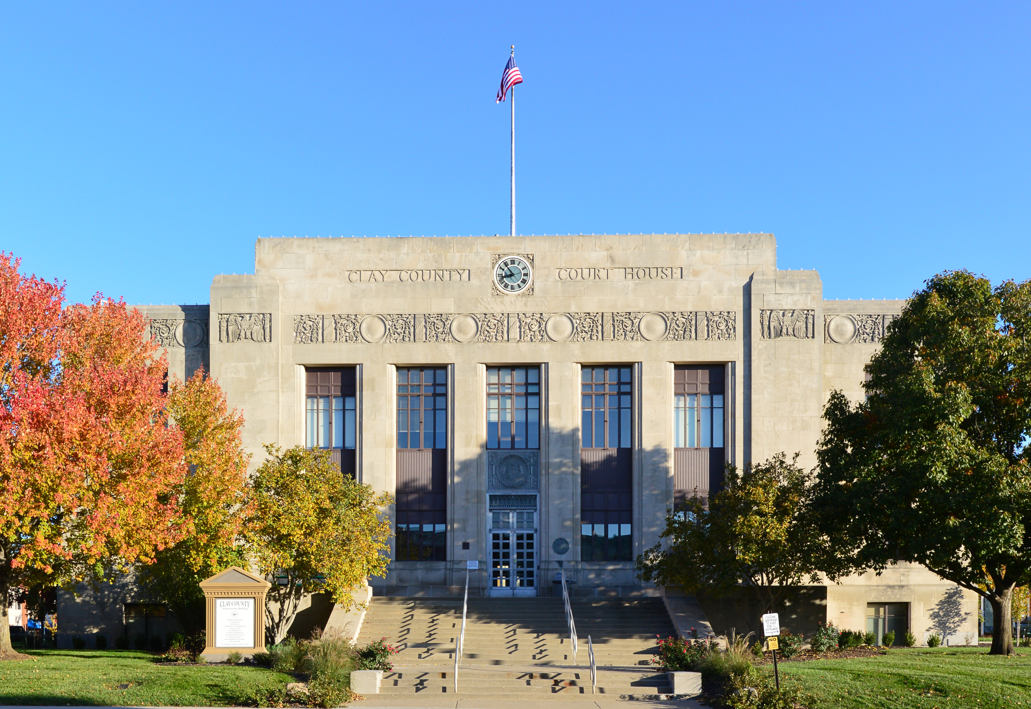
Clay County, Missouri, courthouse in Liberty
Items portrayed in this file
depicts
27 October 2019
39°14'45.910"N, 94°25'10.880"W
0.01 second
10
18 millimetre
200
image/jpeg
6c33d8a85096fb35da589dc3cf5576e9f6a1130d
4,838,260 byte
2,404 pixel
3,495 pixel
File history
Click on a date/time to view the file as it appeared at that time.
| Date/Time | Thumbnail | Dimensions | User | Comment | |
|---|---|---|---|---|---|
| current | 05:09, 29 October 2019 | | 3,495 × 2,404 (4.61 MB) | Kbh3rd | User created page with UploadWizard |
File usage
The following pages on the English Wikipedia use this file (pages on other projects are not listed):
Global file usage
The following other wikis use this file:
- Usage on fr.wikipedia.org
- Usage on ko.wikipedia.org
- Usage on simple.wikipedia.org
- Usage on zh.wikipedia.org
Metadata
This file contains additional information, probably added from the digital camera or scanner used to create or digitize it.
If the file has been modified from its original state, some details may not fully reflect the modified file.
| Camera manufacturer | NIKON CORPORATION |
|---|---|
| Camera model | NIKON D3200 |
| Exposure time | 1/100 sec (0.01) |
| F-number | f/10 |
| ISO speed rating | 200 |
| Date and time of data generation | 13:53, 27 October 2019 |
| Lens focal length | 18 mm |
| Latitude | 39° 14′ 45.91″ N |
| Longitude | 94° 25′ 10.88″ W |
| Altitude | 271 meters above sea level |
| City shown | Liberty |
| Credit/Provider | Wikimedia Commons by Kbh3rd |
| Copyright holder | https://en.wikipedia.org/wiki/User:Kbh3rd |
| Image title | Clay County, Missouri, courthouse in Liberty |
| Orientation | Normal |
| Horizontal resolution | 300 dpi |
| Vertical resolution | 300 dpi |
| Software used | Ver.1.04 |
| File change date and time | 13:53, 27 October 2019 |
| Y and C positioning | Co-sited |
| Exposure Program | Aperture priority |
| Exif version | 2.3 |
| Date and time of digitizing | 13:53, 27 October 2019 |
| Meaning of each component |
|
| Image compression mode | 4 |
| Exposure bias | 0 |
| Maximum land aperture | 1.6 APEX (f/1.74) |
| Metering mode | Pattern |
| Light source | Unknown |
| Flash | Flash did not fire |
| DateTime subseconds | 10 |
| DateTimeOriginal subseconds | 10 |
| DateTimeDigitized subseconds | 10 |
| Supported Flashpix version | 1 |
| Color space | sRGB |
| Sensing method | One-chip color area sensor |
| File source | Digital still camera |
| Scene type | A directly photographed image |
| Custom image processing | Normal process |
| Exposure mode | Auto exposure |
| White balance | Auto white balance |
| Digital zoom ratio | 1 |
| Focal length in 35 mm film | 27 mm |
| Scene capture type | Standard |
| Scene control | None |
| Contrast | Normal |
| Saturation | Normal |
| Sharpness | Normal |
| Subject distance range | Unknown |
| GPS time (atomic clock) | 13:51 |
| Reference for direction of image | True direction |
| Direction of image | 0 |
| Geodetic survey data used | WGS-84 |
| GPS date | 27 October 2019 |
| GPS tag version | 2.3.0.0 |
| Special instructions | Lat 39.2460861111111, Lon -94.4196888888889 - Bearing: 0 - Altitude: 271m |
| IIM version | 4 |
| Sublocation of city shown | 1 Courthouse Square |
| Province or state shown | Missouri |
| Country shown | US |